Here’s the latest Hay Creek Fire Public Information Map showing fire extent, closures and current evacuation zone boundaries. Note that containment is now 30% . . .
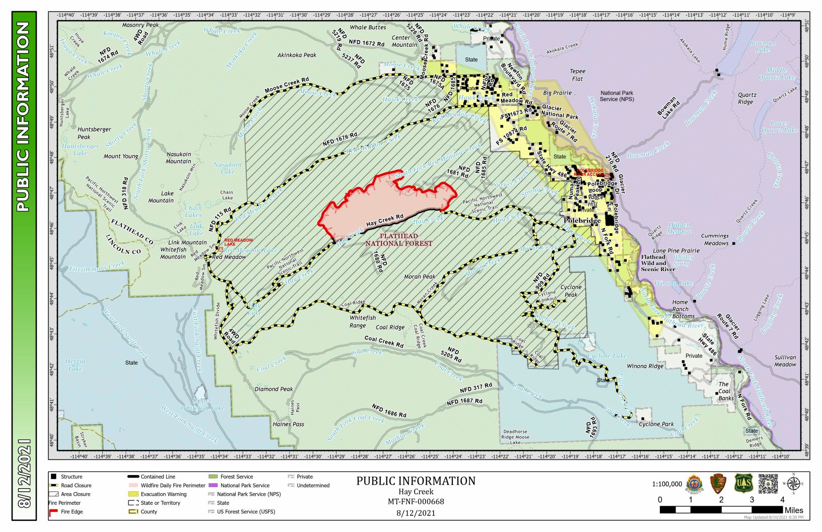
PDF version: https://nflandowners.org/nflawp/wp-content/uploads/2021/08/Hay-Creek-Fire-Public-Info-Map-for-August-12-2021.pdf