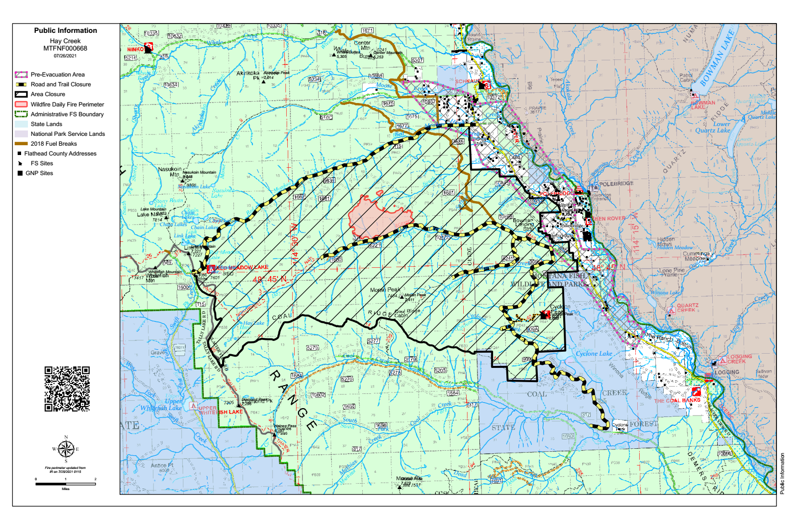
Here’s the latest Hay Creek Fire Public Information Map showing fire extent, closures and current evacuation zone boundaries . . .
PDF version: https://nflandowners.org/nflawp/wp-content/uploads/2021/07/pio_11x17_land_20210725_1749_HayCreek_MTFNF000668_0726.pdf