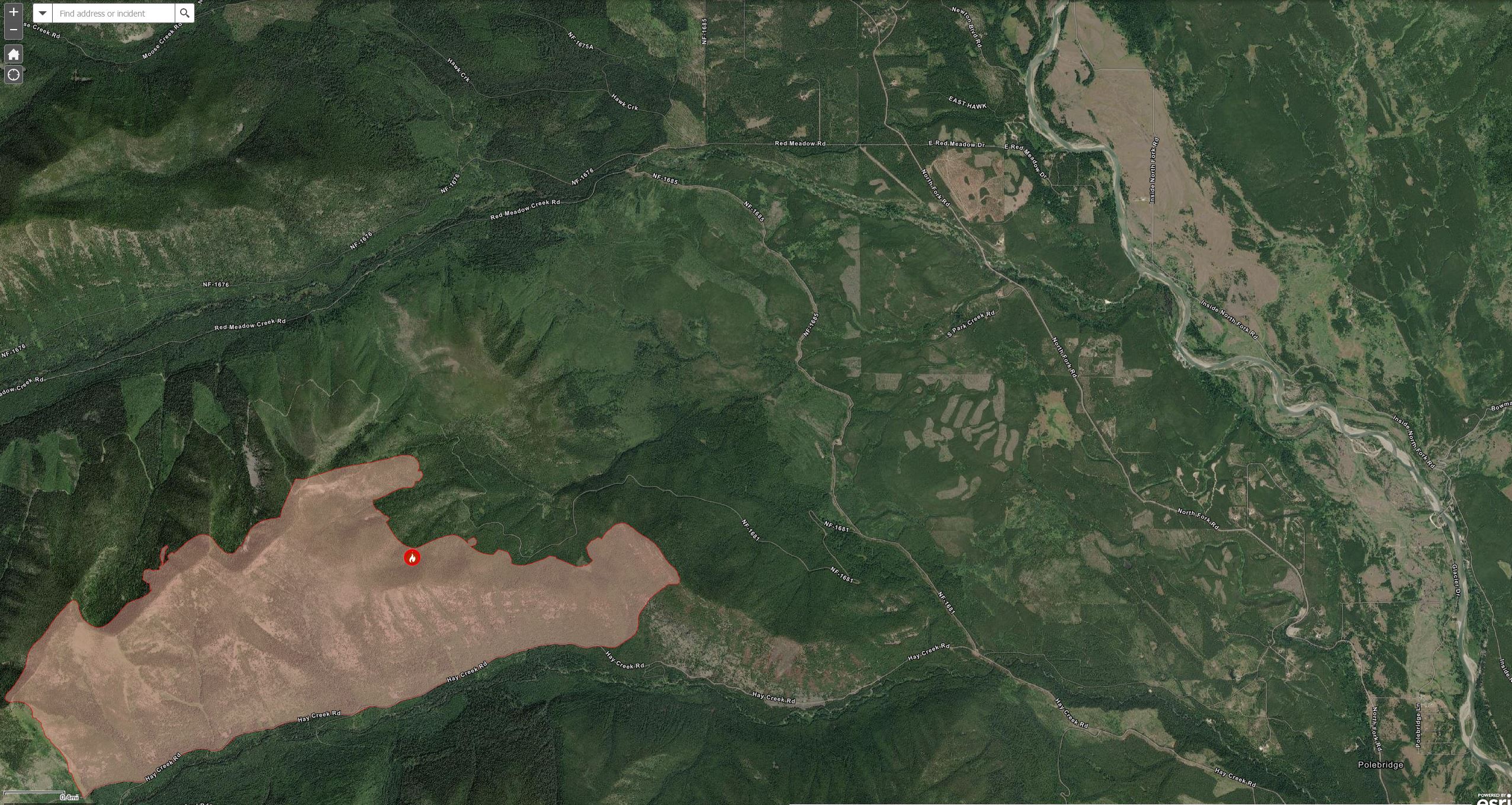
As of this evening’s (August 7) flight, the Hay Creek Fire was at a calculated 2894 acres (1171ha) based on the infrared image. This is up about 191 acres from the last official estimate . . .
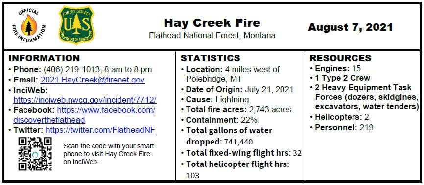 INCIDENT UPDATE
Operations to reinforce the Hay Creek road have succeeded in creating a defensible fireline along the road and the avalanche chute along the west side of the fire. Crews will continue to mop up this southern edge and move the major focus to reinforcing the fireline in the Spruce Creek area with heavy equipment.
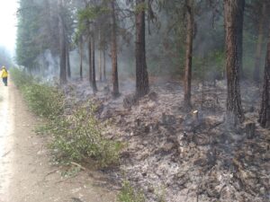
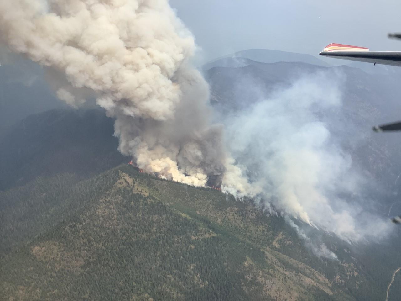
Both ends of the fire that are tied into the Hay Creek Road remain active, with a minimal rate of spread. Friday’s increased winds created visible smoke in these areas, with heavy fuels continuing to burn that were not extinguished by the rain last week. Although some increased fire behavior was seen Friday afternoon and evening due to increased winds, cooler temperatures and smokey conditions that reduce solar heat on the fire have helped keep fire spread minimal. Helicopter bucket drops Friday were effective in cooling the most active areas of the fire to the east.
Montana is experiencing EXTREME fire danger; Stage 2 Fire Restrictions are in effect with campfires prohibited. Know Before You Go- Visit www.mtfireinfo.org for additional Montana fire restrictions.
Evacuation Warnings include all residences east and west of the North Fork Road from Home Ranch Bottoms north to Moose Creek Road and the community of Polebridge. Glacier National Park has issued an Evacuation Warning for the North Fork area of Glacier National Park north of Logging Creek. See details at https://go.usa.gov/xFjcA and Current Fire Information – Glacier National Park.
Road and trail closures are in place. See details at InciWeb: https://inciweb.nwcg.gov/incident/article/7712/62192/.
Continue reading Hay Creek Fire – Incident Update for August 7
Wednesday, August 11, 6:00 pm in the Sondreson Hall Parking Lot
You are invited to send questions to 2021.haycreek@firenet.gov or call 406-219-1013 by noon Wednesday.
For further Hay Creek Fire information, please visit: https://inciweb.nwcg.gov/incident/7712/ or call the info line at 406-219-1013 (8 am to 8 pm).
Thursday’s activities focused on a second test firing operation in the southeast edge to tie in with the existing avalanche chute. Heavy equipment was used to reinforce fuel breaks in the Spruce Creek area. There continues to be areas of intense heat along the whole perimeter of the fire, and up high on the ridges and on the western flank.
Crews will work today toward expanding containment along the Hay Creek Road. Equipment will be working in the Spruce Creek area. Historic fuel breaks are being tied together to make a contiguous line east of the fire. Interagency fire crews will work with the public in the evacuation warning area to reduce fuels and protect structures. Public landowners are also working to create defensible space around their homes. Information on this process can be found at Creation and Maintenance of the Home Ignition Zone. (mt.gov)
As we approach the weekend and increased traffic, travelers need to have a heightened awareness to drive defensively, due to fire traffic and road construction in the area. Montana is experiencing EXTREME fire danger; Stage 2 Fire Restrictions are in effect with campfires prohibited. Know Before You Go- Visit www.mtfireinfo.org for additional Montana fire restrictions.
Evacuation Warnings include all residences east and west of the North Fork Road from Home Ranch Bottoms north to and including Moose Creek Road and the community of Polebridge. Glacier National Park has issued an Evacuation Warning for the North Fork area of Glacier National Park north of Logging Creek. See details at https://go.usa.gov/xFjcA and Current Fire Information – Glacier National Park.
Road and trail closures are in place. See details at Inciweb: https://inciweb.nwcg.gov/incident/article/7712/62192/.
Continue reading Hay Creek Fire – Incident Update for August 6
Here’s the latest Hay Creek Fire Public Information Map showing fire extent, closures and current evacuation zone boundaries . . .
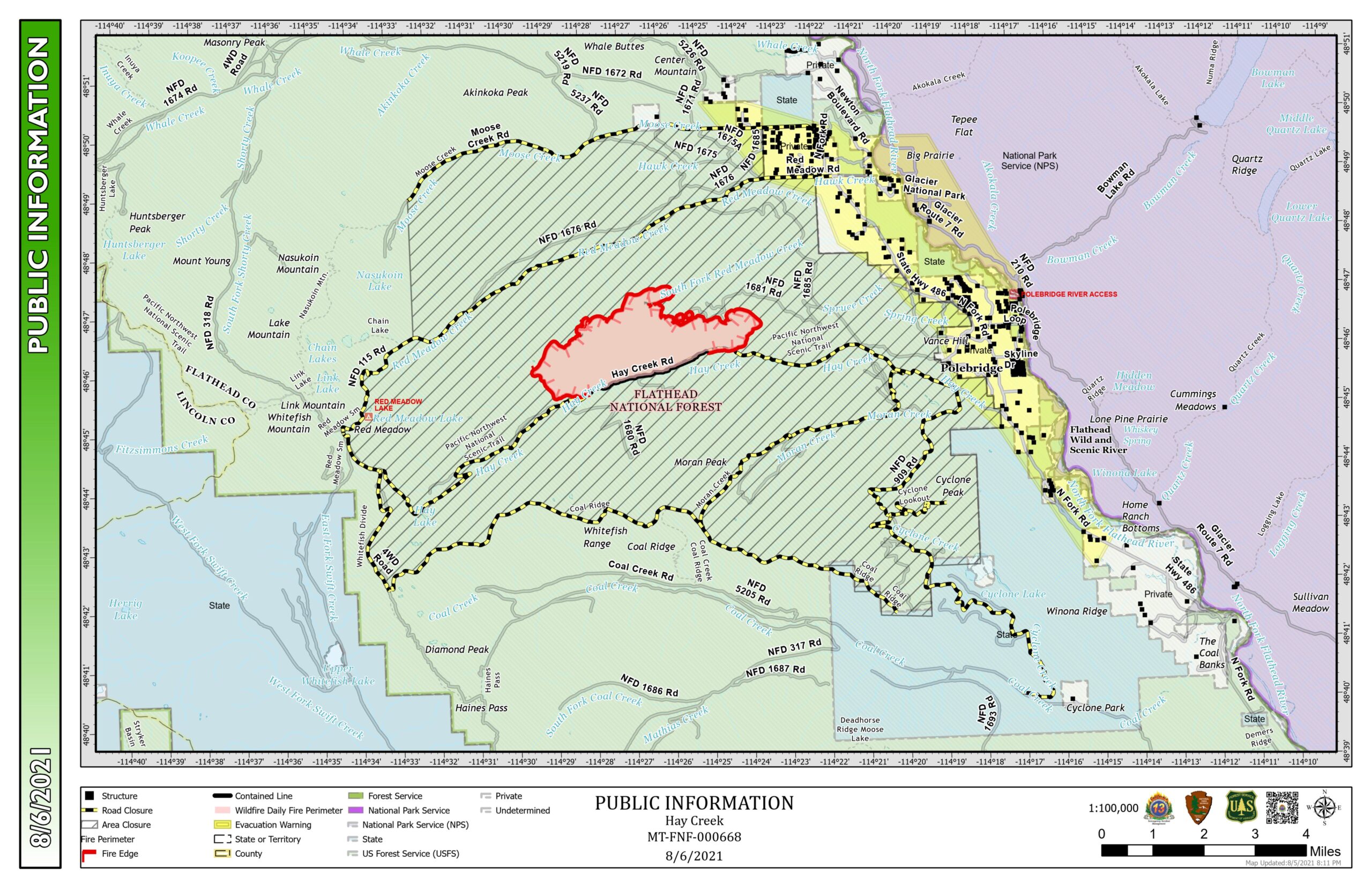
PDF version: https://nflandowners.org/nflawp/wp-content/uploads/2021/08/Public-Information-Map-for-August-6-2021.pdf
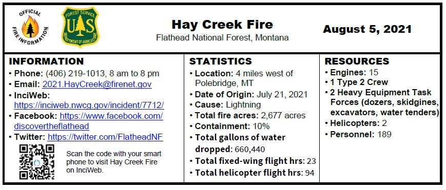
The Hay Creek Fire burned actively in dead and down fuels producing increasing smoke on Wednesday, but movement was minimal. A second heavy equipment task force arrived to help assist with operations in the Spruce Creek area. Structure protection personnel and a helitack crew completed structure wrapping of the Coal Ridge Cabin, a remote historic structure without road access. Crews are now staying in the new spike camps in the Home Ranch Bottoms/Cyclone area.
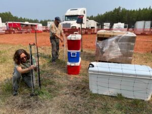
Today, crews will continue to secure and connect an avalanche slope on the west end of the fire with Hay Creek Road #376. Other personnel will scout areas north and south of the fire for additional contingency lines. Fuel reduction continues along the southern edge of the fire and on primary and contingency lines between the fire and private lands to the east and northeast. Fire personnel will continue to be in the community sharing information and planning for structure protection.
Travelers need use extra caution in driving due to fire traffic and road construction in the area. Most of Montana is experiencing EXTREME fire danger; Stage 2 Fire Restrictions are in effect with campfires prohibited. Know Before You Go- Visit www.mtfireinfo.org for additional Montana fire restrictions.
Evacuation Warnings include all residences east and west of the North Fork Road from Home Ranch Bottoms north to and including Moose Creek Road and the community of Polebridge. Glacier National Park has issued an Evacuation Warning for the North Fork area of Glacier National Park north of Logging Creek. See details at https://go.usa.gov/xFjcA and Current Fire Information – Glacier National Park.
Road and trail closures are in place. See details at Inciweb: https://inciweb.nwcg.gov/incident/article/7712/62192/.
WEATHER AND AIR QUALITY Continue reading Hay Creek Fire – Incident Update for August 5