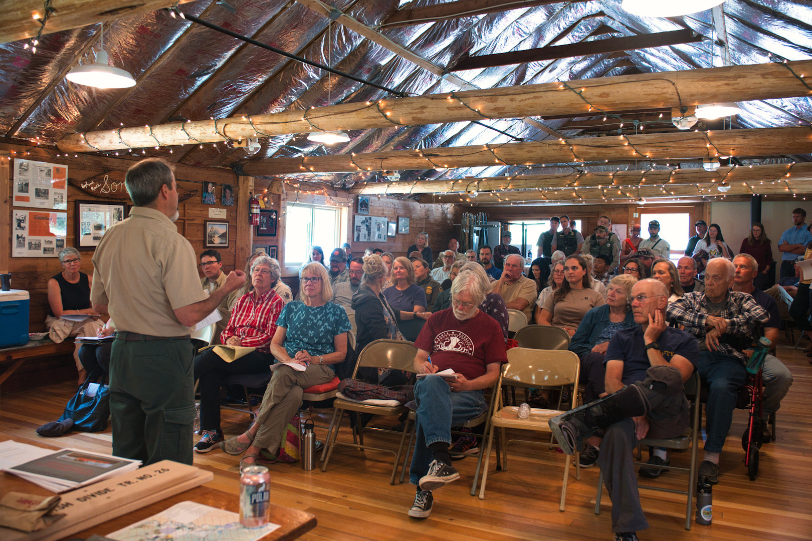
Here are some photos from the Interlocal meeting on February 14, 2025. Lots of familiar faces, both from the local community and the various governmental agencies…
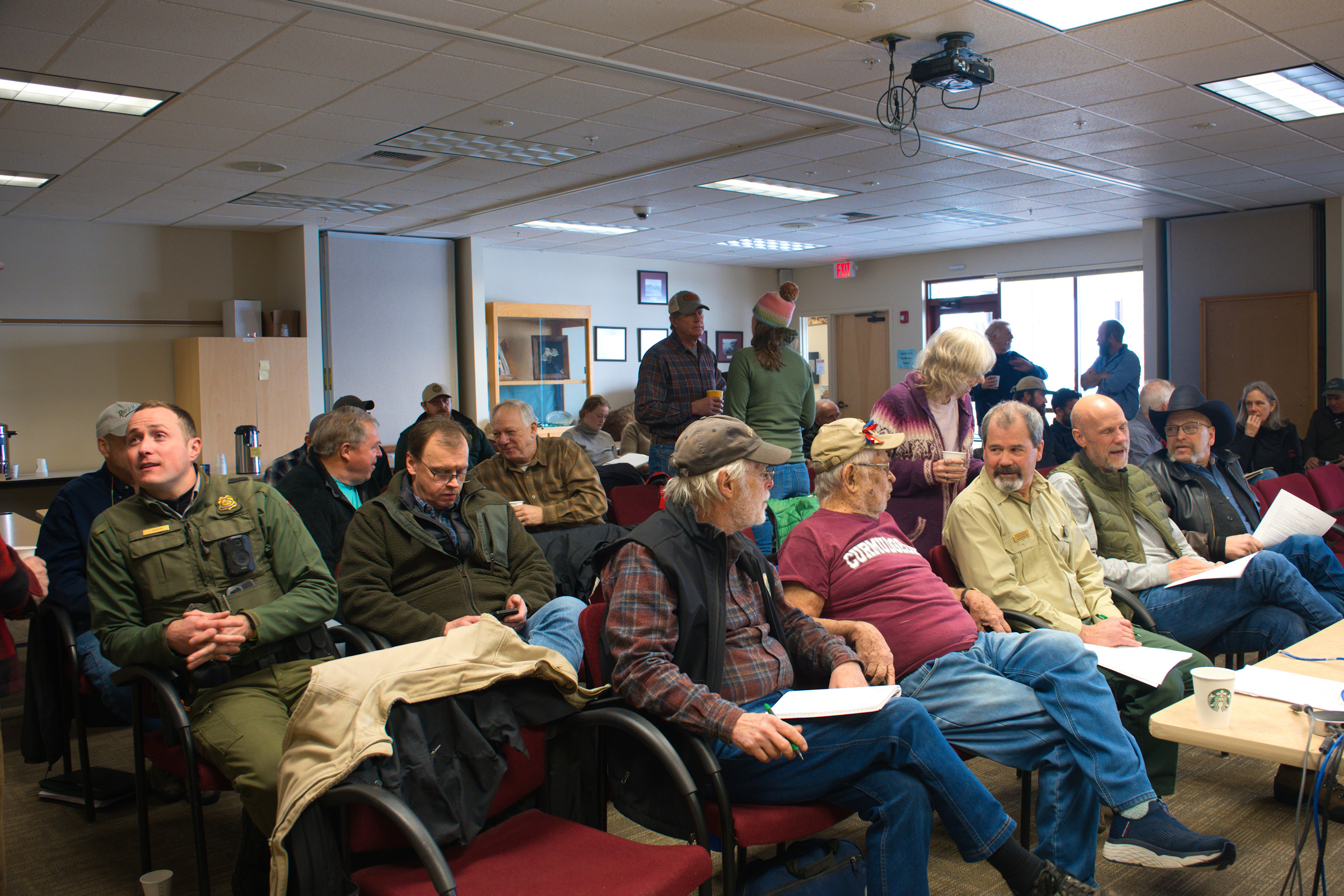
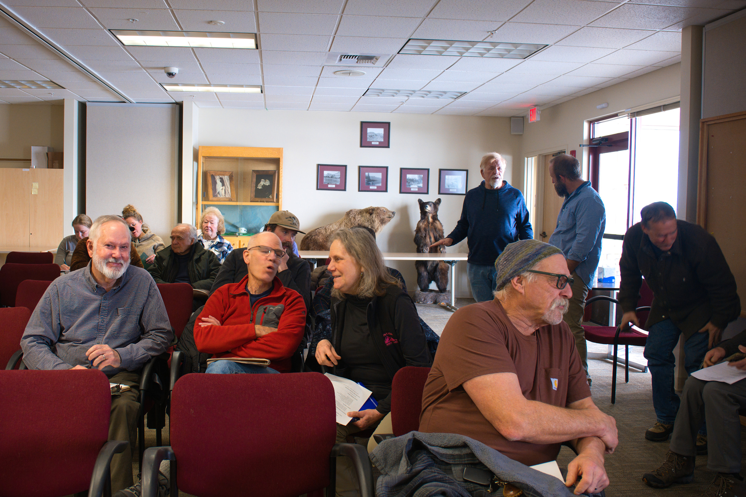
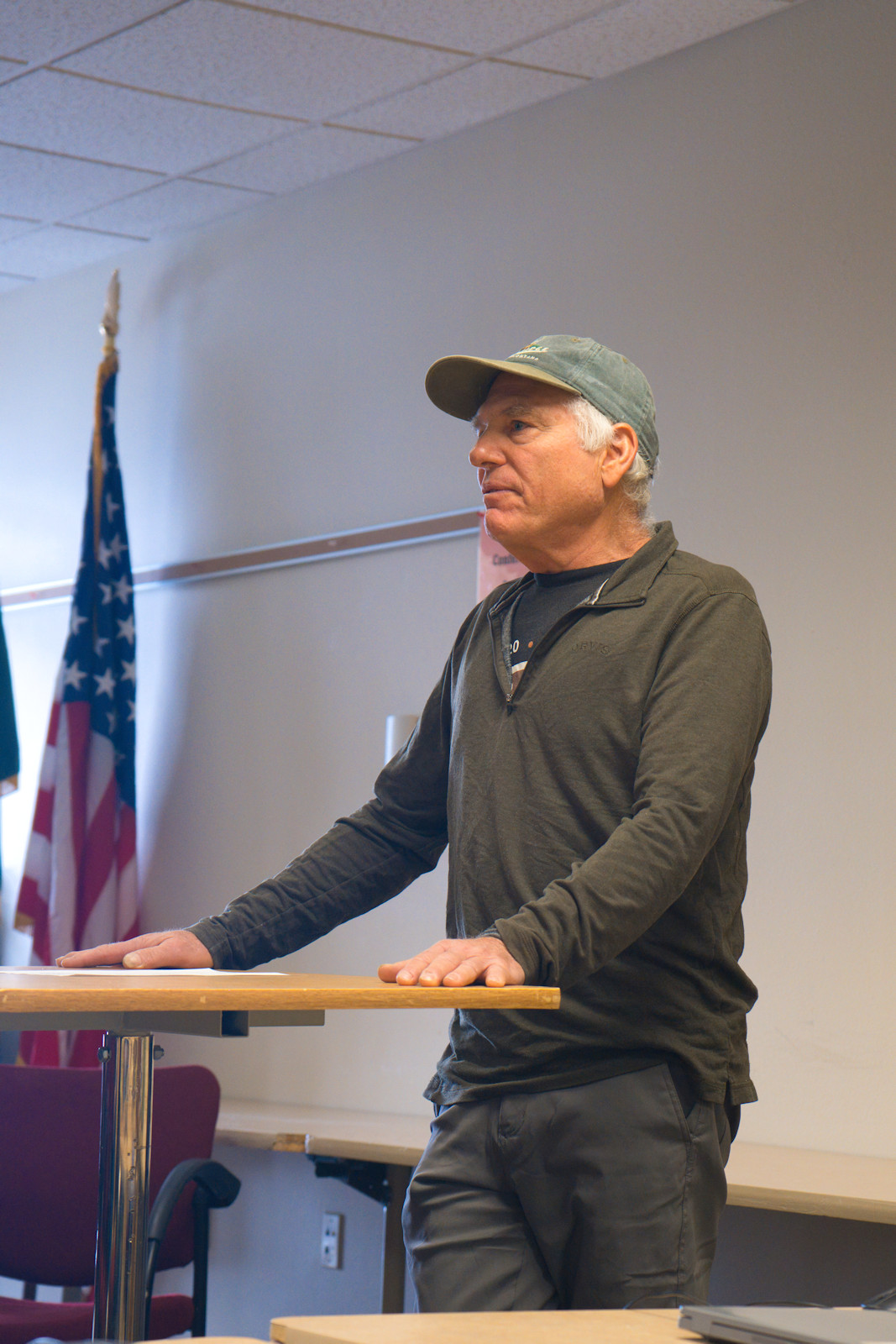

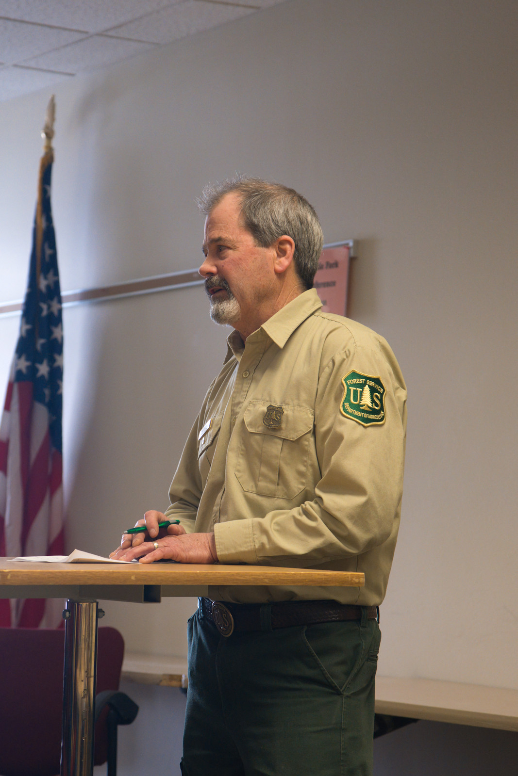
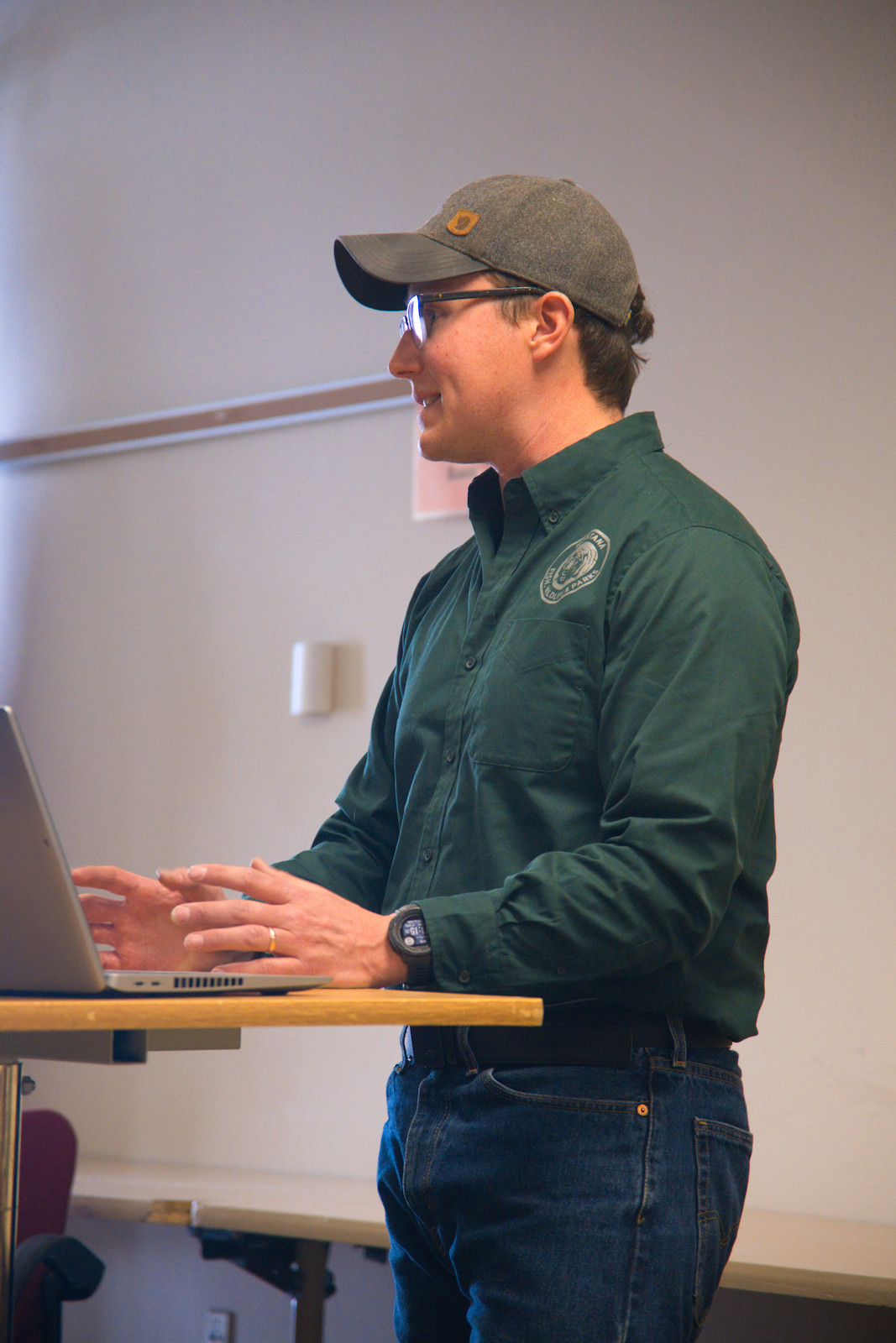
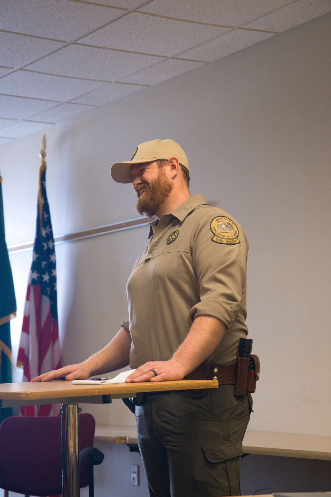
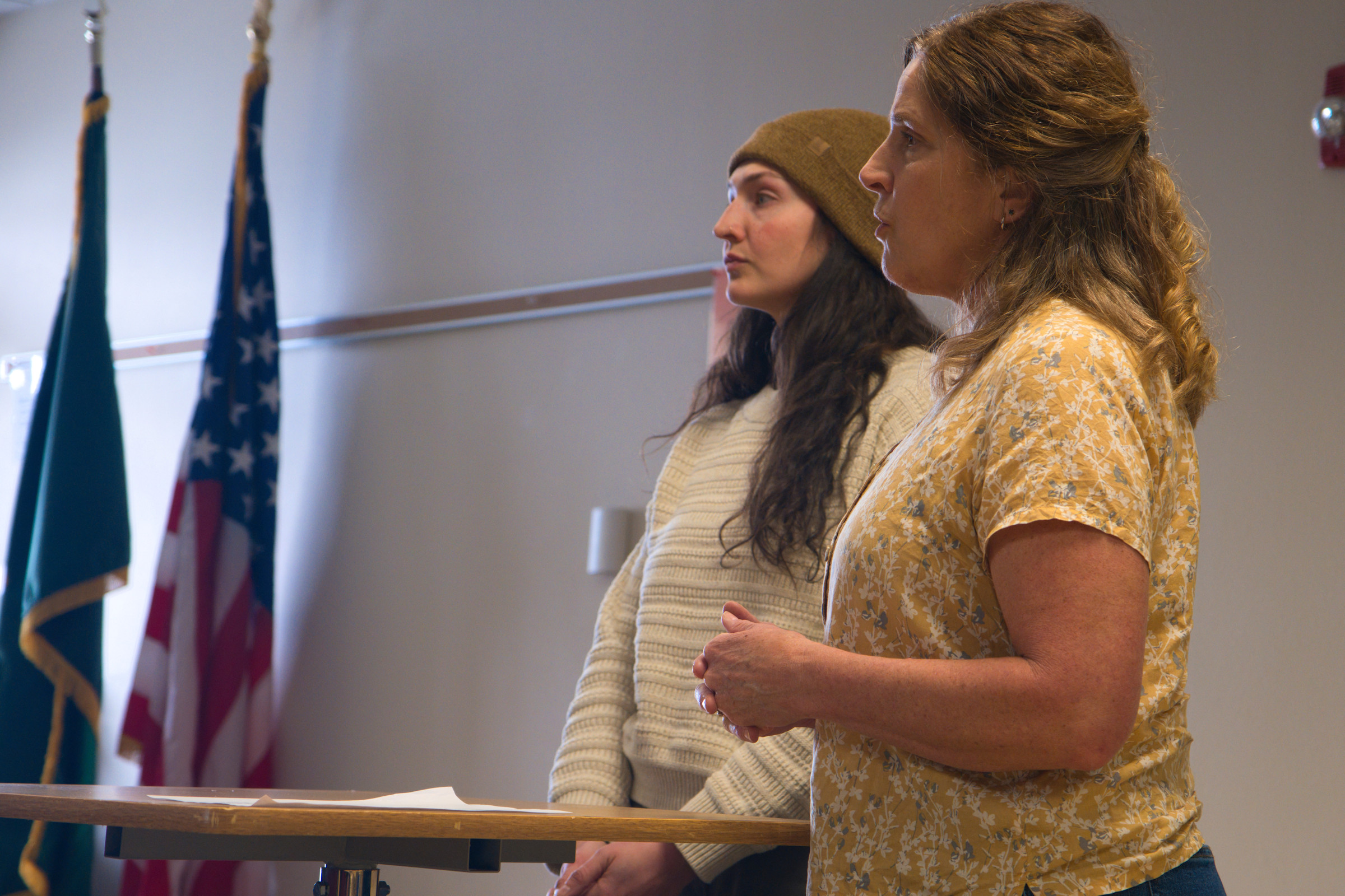

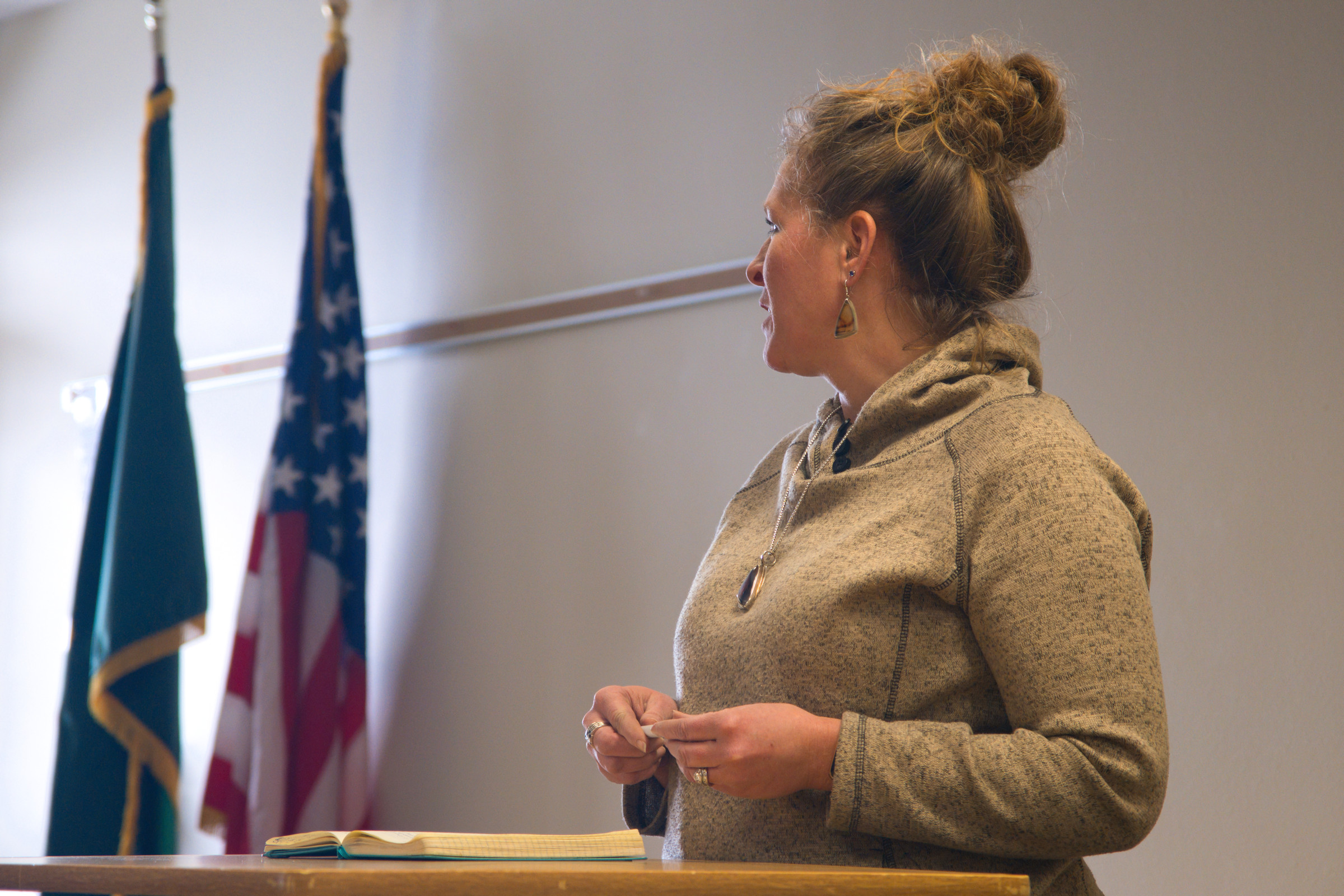
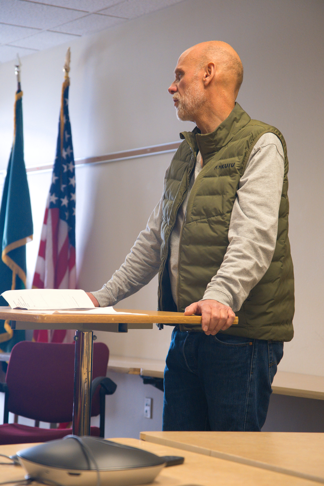
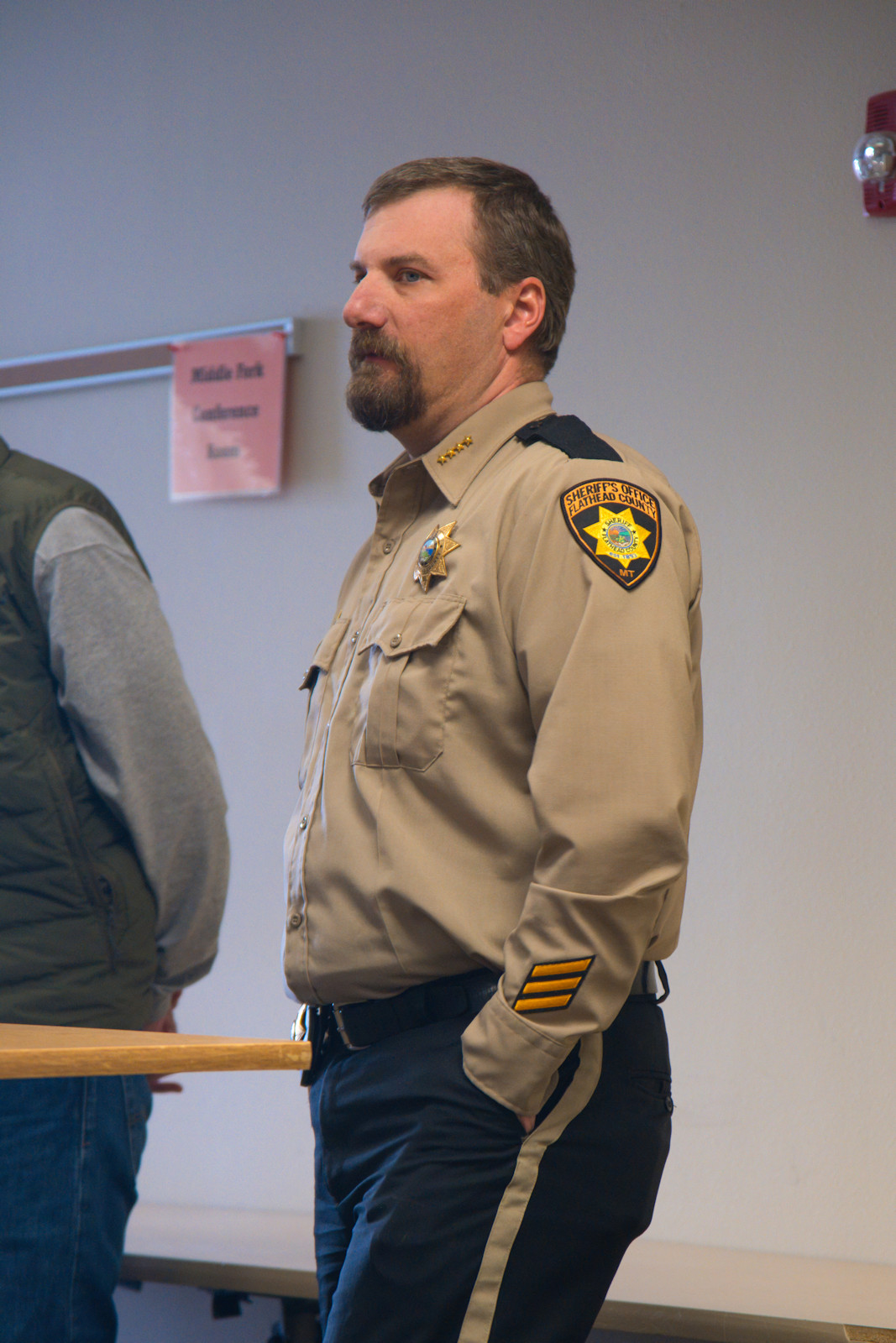
Here are some photos from the Interlocal meeting on February 14, 2025. Lots of familiar faces, both from the local community and the various governmental agencies…
In case some of you are North Fork residents/landowners, but are not on the Interlocal mailing list, Here’s a copy of a recent email about submitting local issues and concerns for discussion at the meeting…
The Winter 2025 Interlocal Agreement Meeting is hosted by the Montana Department of Natural Resources and Conservation (DNRC) at 10:00am, on Friday, February 14, in the Main Conference Room, Flathead Forest Supervisor’s Office, 650 Wolfpack Way, in Kalispell.
Please note that the meeting is on Friday, Feb 14, not Wednesday, Feb 12 as originally scheduled.
For those of you new to this, Interlocal meetings are held twice each year, winter and summer. These semi-annual get-togethers are intended to encourage open discussion between North Fork landowners and neighbors, and local, state and federal agencies. In other words, it’s a big deal if you have an interest in the North Fork.
As a convenience (it’s not required), I’m serving as a central point of contact for issues that North Fork organizations and individuals would like to see addressed by the various government agencies represented at the meeting. If you’ll send me your issues via email to wkwalker@nvdi.com by the afternoon of Wednesday, January 29, I’ll see to it that they get passed on to the various organizations in enough time for them to prepare their presentations.
Please feel free to get in touch if you have any questions.
Bill
UPDATE! The Interlocal Issues were compiled and submitted to the agencies on January 29th. View the list here.
We’re starting to see some real movement on the Comprehensive River Management Plan (not so affectionately known as the CRMP). The text of the official press release follows, but here are the highlights…
There are two informational meetings. The first is on Tuesday, January 21st, the second is on Wednesday, January 22nd. Both are being held from 6 to 8pm at the Flathead Valley Community College, Arts and Technology building, room 130 (AT-130). There is a listen-only virtual option for the presentation portions of the meeting.
From the official press release . . .
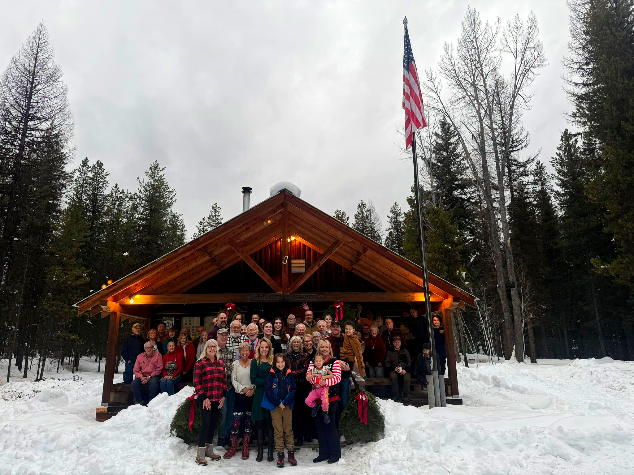
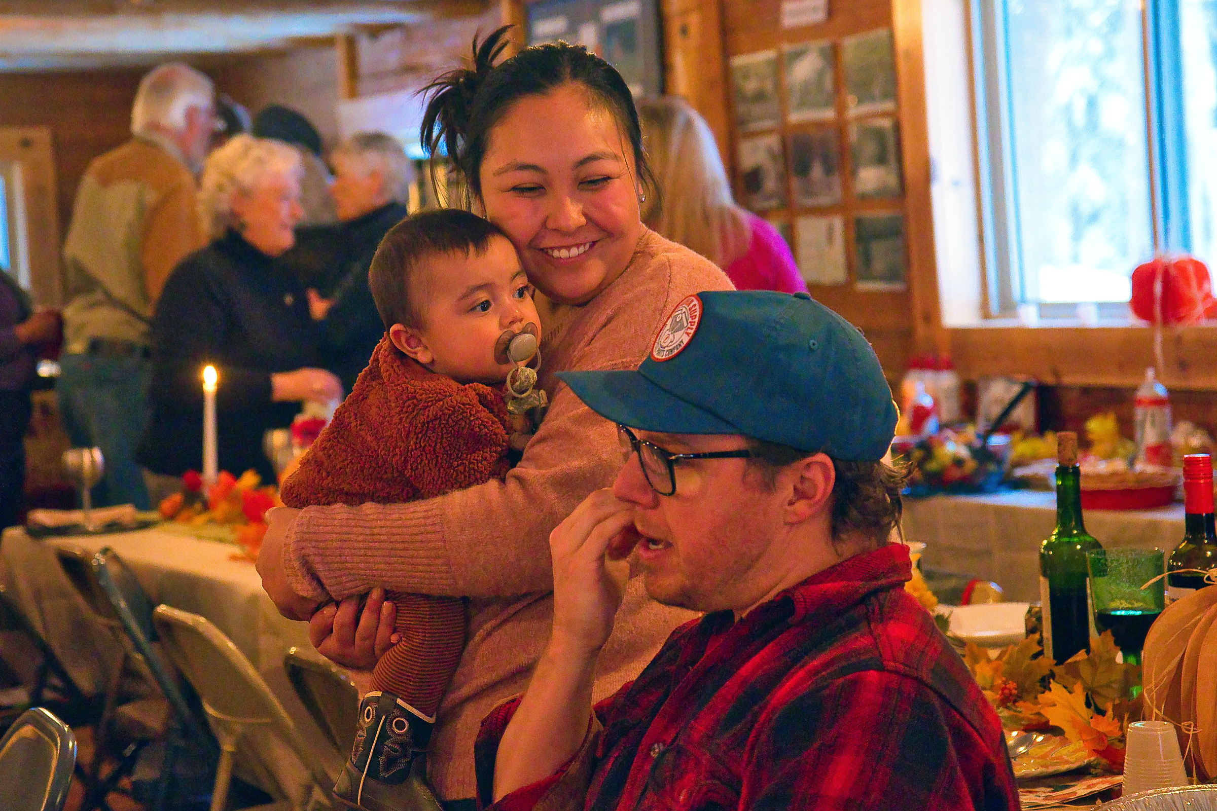
Christmas dinner at Sondreson Hall was a big success with about 65 people in attendance. Here’s a photo of the crowd . . .
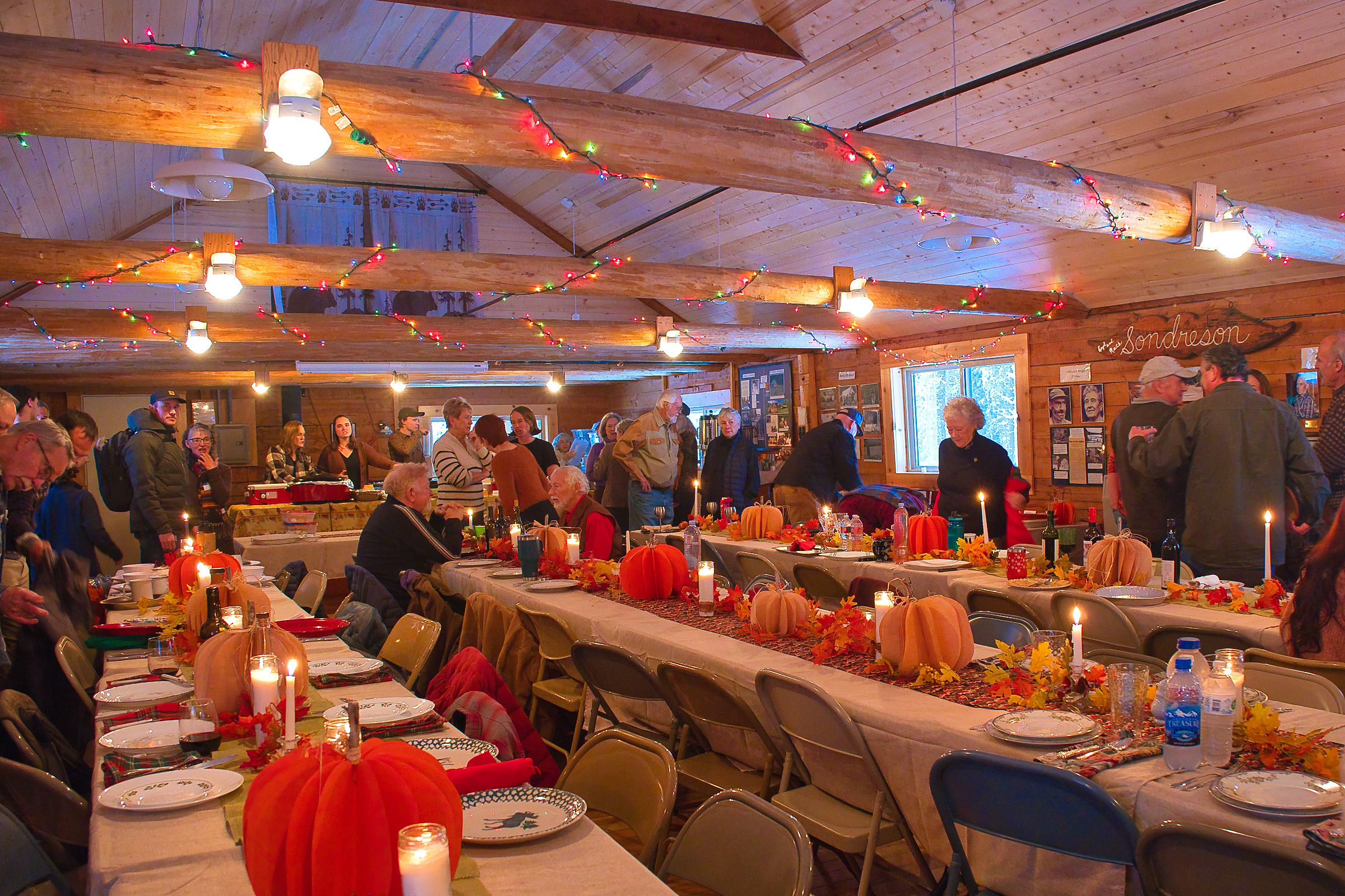
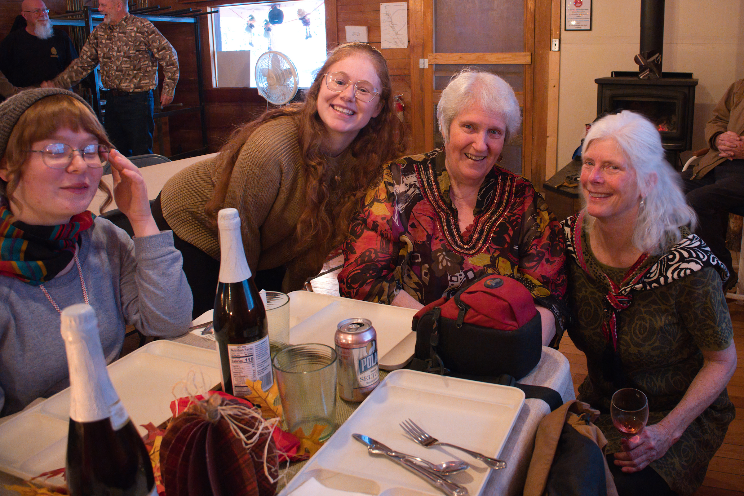
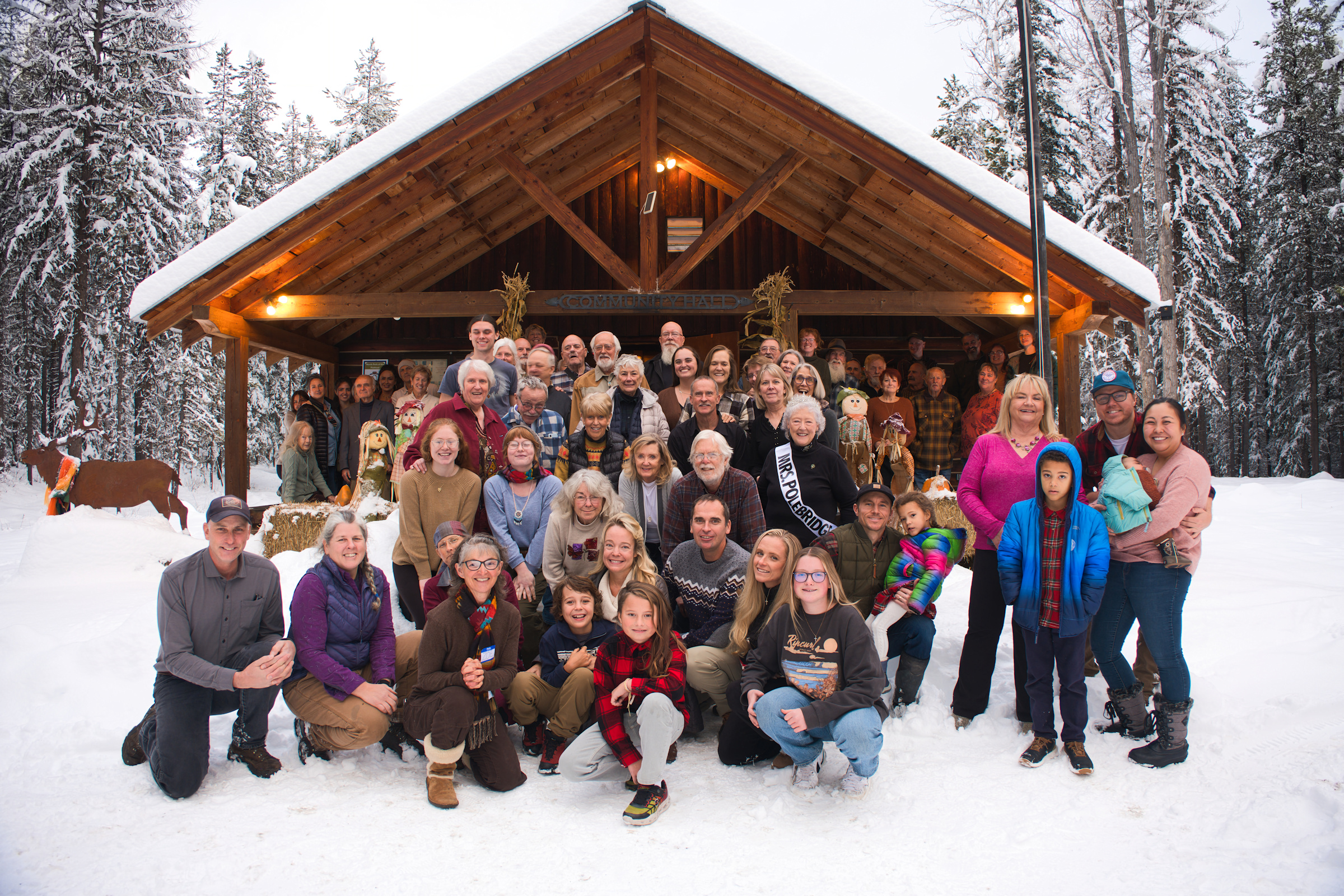 As usual, Thanksgiving at Sondreson Hall was a big success with some 90 North Forkers and guests (not counting dogs) gathering to celebrate the occasion.
Here are a few photos from the event…
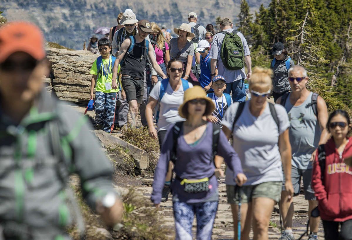
OK, everyone, here’s your chance to weigh in on how Glacier Park plans to handle tourist season congestion, especially at the North Fork, Many Glacier and Two Medicine entrances and within the Going-to-the-Sun Road corridor.
Continue reading Glacier Park seeks public input to improve visitor experience
Here we go again. Short version: The 2025 Glacier Park vehicle reservation system is the same as it was this year, except that reservations will be for a specific entry “time block”as well as a date.
From the official press release… Continue reading Glacier National Park announces timed entry vehicle reservation pilot for 2025
 Uh, oh… This is getting pretty close…
From the Montana FWP press release:
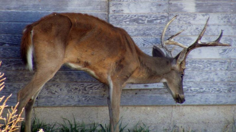
KALISPELL — Chronic wasting disease (CWD) was recently detected in a white-tailed deer in Kalispell. This is the first time CWD has been detected in a wild herd in Hunting District 170, which encompasses most of the Flathead Valley.
FWP received reports of a symptomatic buck at the Flathead County Landfill. Wildlife biologists euthanized the animal and submitted samples for testing. The first test indicated that the deer as positive for CWD and a second follow-up test has been submitted for confirmation, following testing protocol.
FWP is working with Flathead County and will survey the landfill for any other potentially symptomatic deer on the property. Continue reading Chronic wasting disease detected for first time in wild deer in Flathead Valley
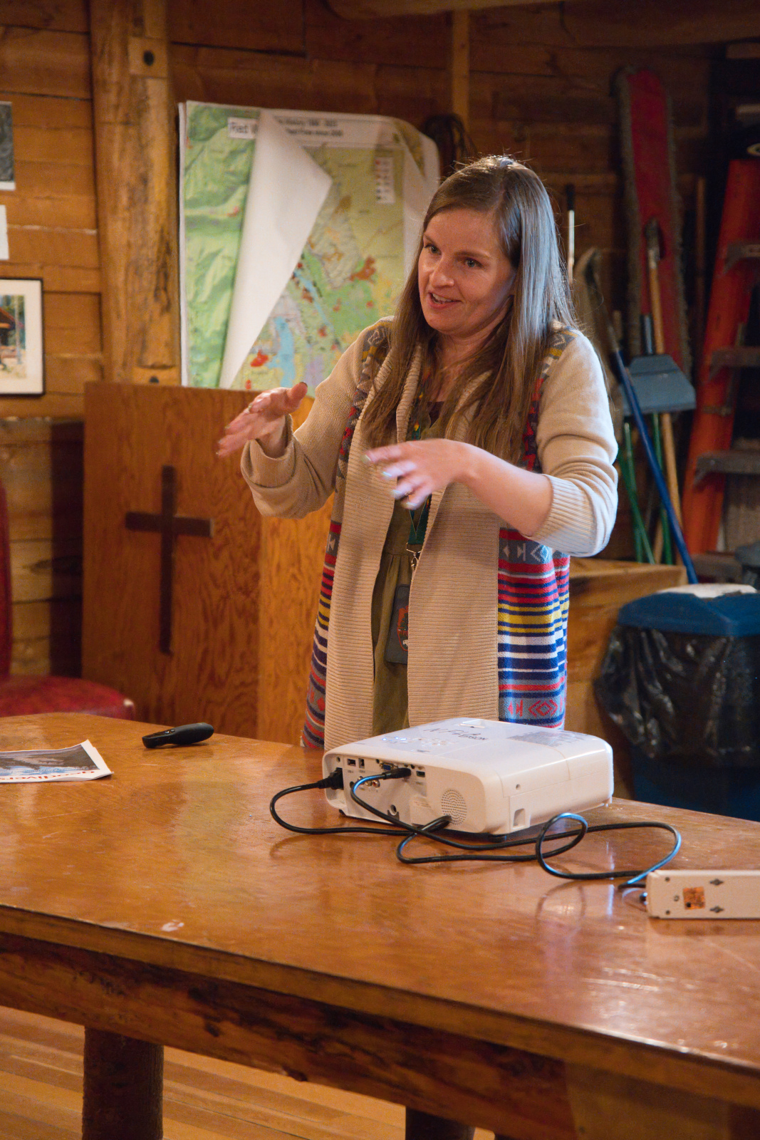
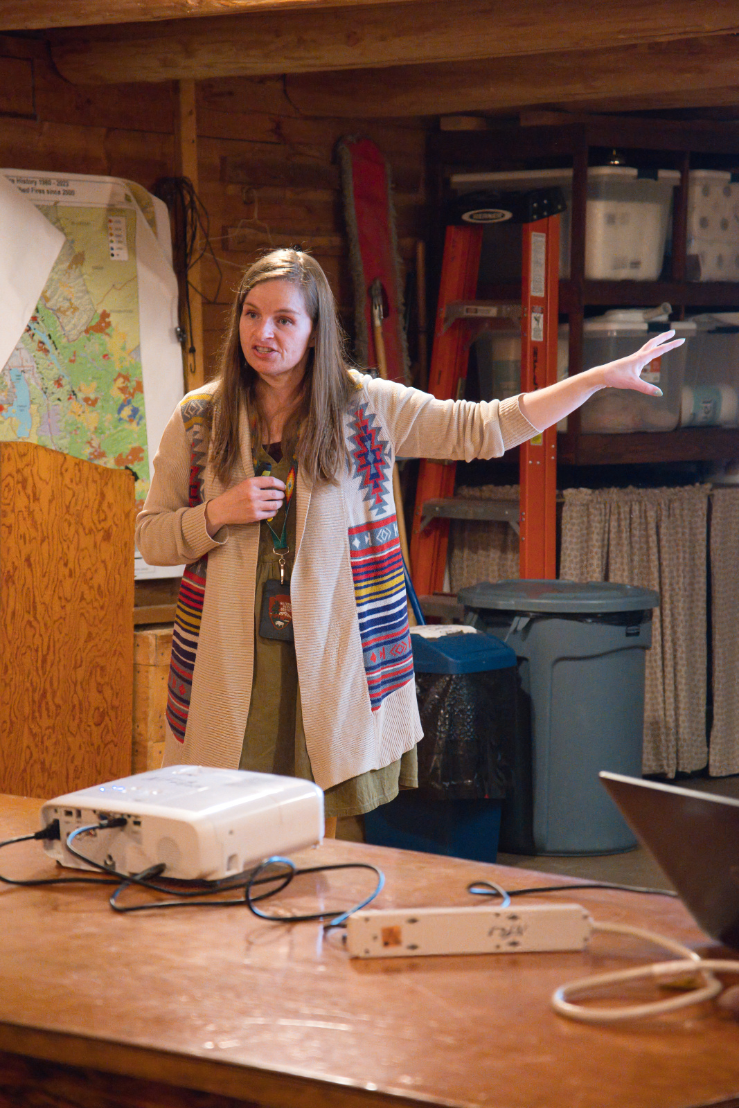
Before the October 13th NFLA membership meeting, we enjoyed a presentation on the geology of Glacier Park by Teagan Tomlin. Teagan is a very animated and entertaining speaker. Everyone had a good time learning about some of the unique geological characteristics of the park.
Here are a few photos from the event…

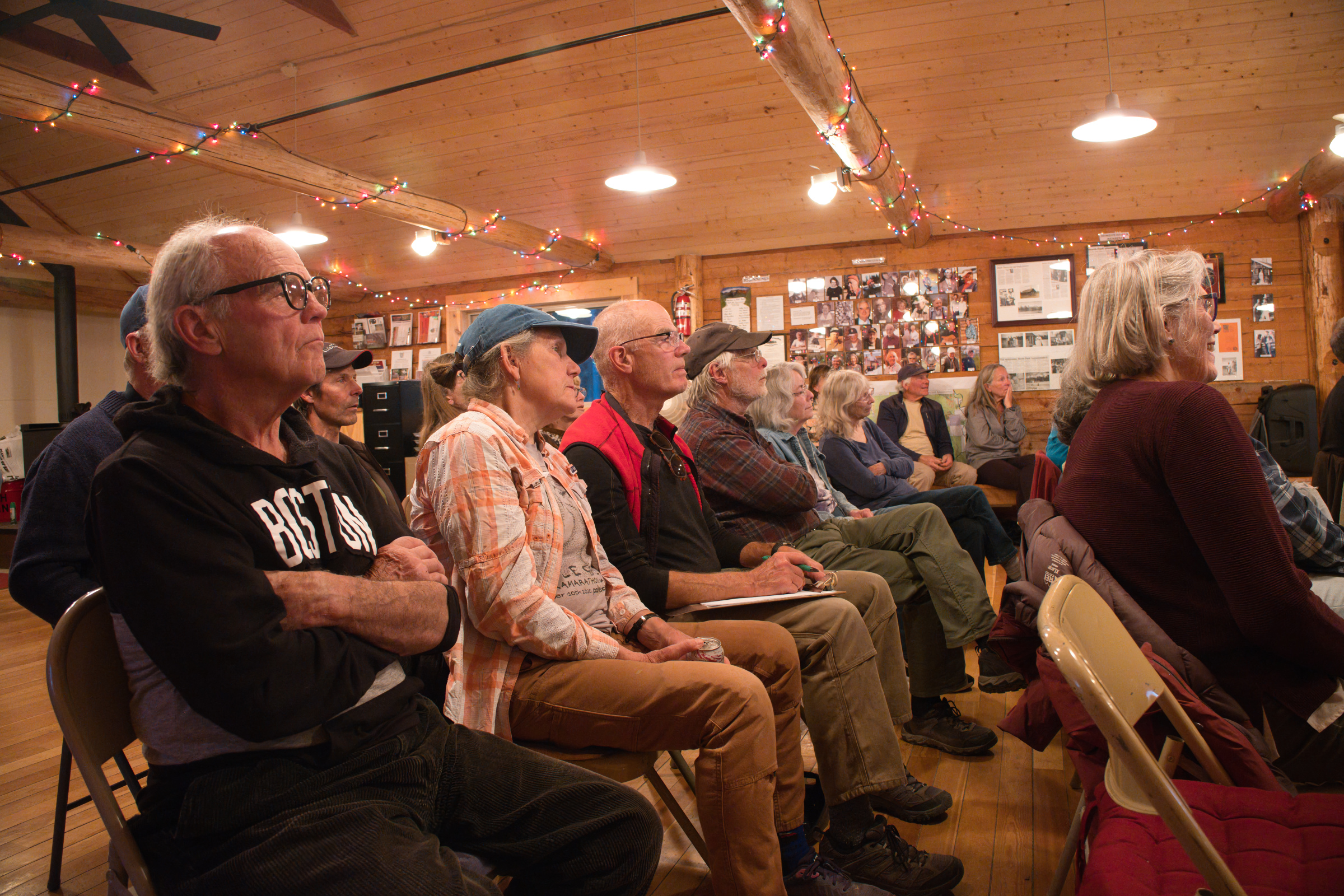
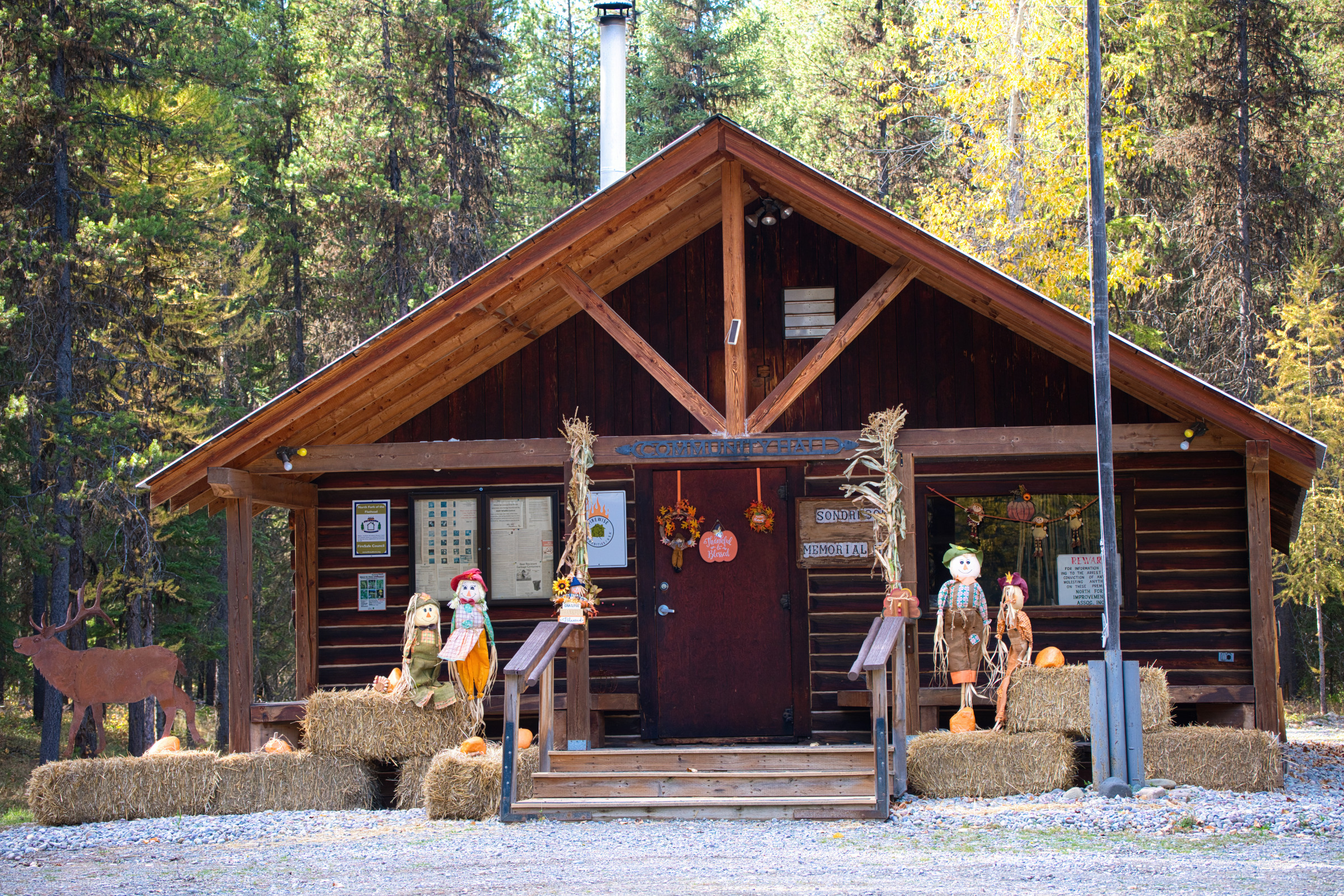
The last NFLA general meeting of the year is this Sunday, October 13, at Sondreson Hall. Events start at 6:00pm with a presentation by Teagan Tomlin Executive Assistant, Office of the Superintendent. Topic: Geologic History of Glacier National Park — an overview of the forces and processes that built and shaped the landscape of the park. The membership meeting is at 7:00pm.
Bring a snack to share.
** We will also be collecting non-perishable items for the Veterans Food Pantry! **