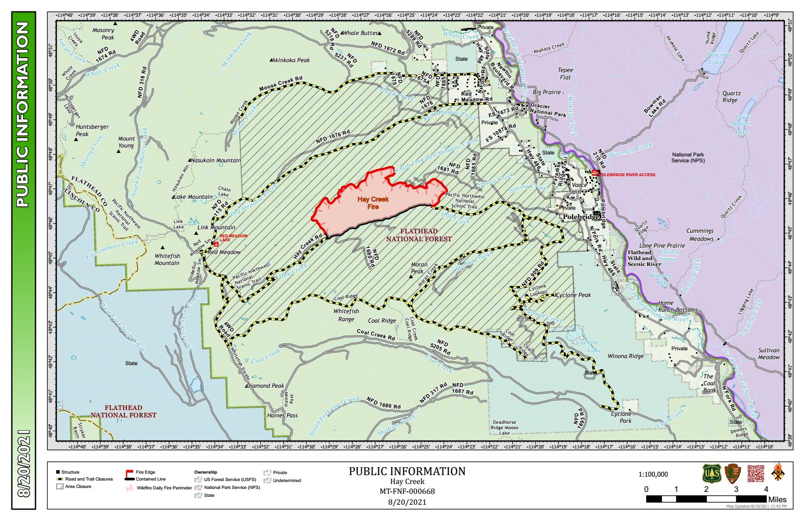
Here’s the latest Hay Creek Fire Public Information Map showing fire extent, closures and current evacuation zone boundaries . . .
Unless there’s a significant change in the fire’s status, this map will be updated much less often — if at all — as the Hay Creek Fire winds down. By August 21, Hay Creek Fire operations will be transferred to a local Type 4 team based out of the Hungry-Horse-Glacier View District. From that point, information on the fire will be coming directly from the Flathead National Forest.
PDF version: https://nflandowners.org/nflawp/wp-content/uploads/2021/08/Hay-Creek-Fire-Public-Info-Map-for-August-20-2021.pdf