Here’s the latest Hay Creek Fire Public Information Map showing fire extent, closures and current evacuation zone boundaries.
Unless conditions worsen, the Type 3 fire team won’t be putting out a daily report. It will be every couple of days, maybe more if things really settle down.
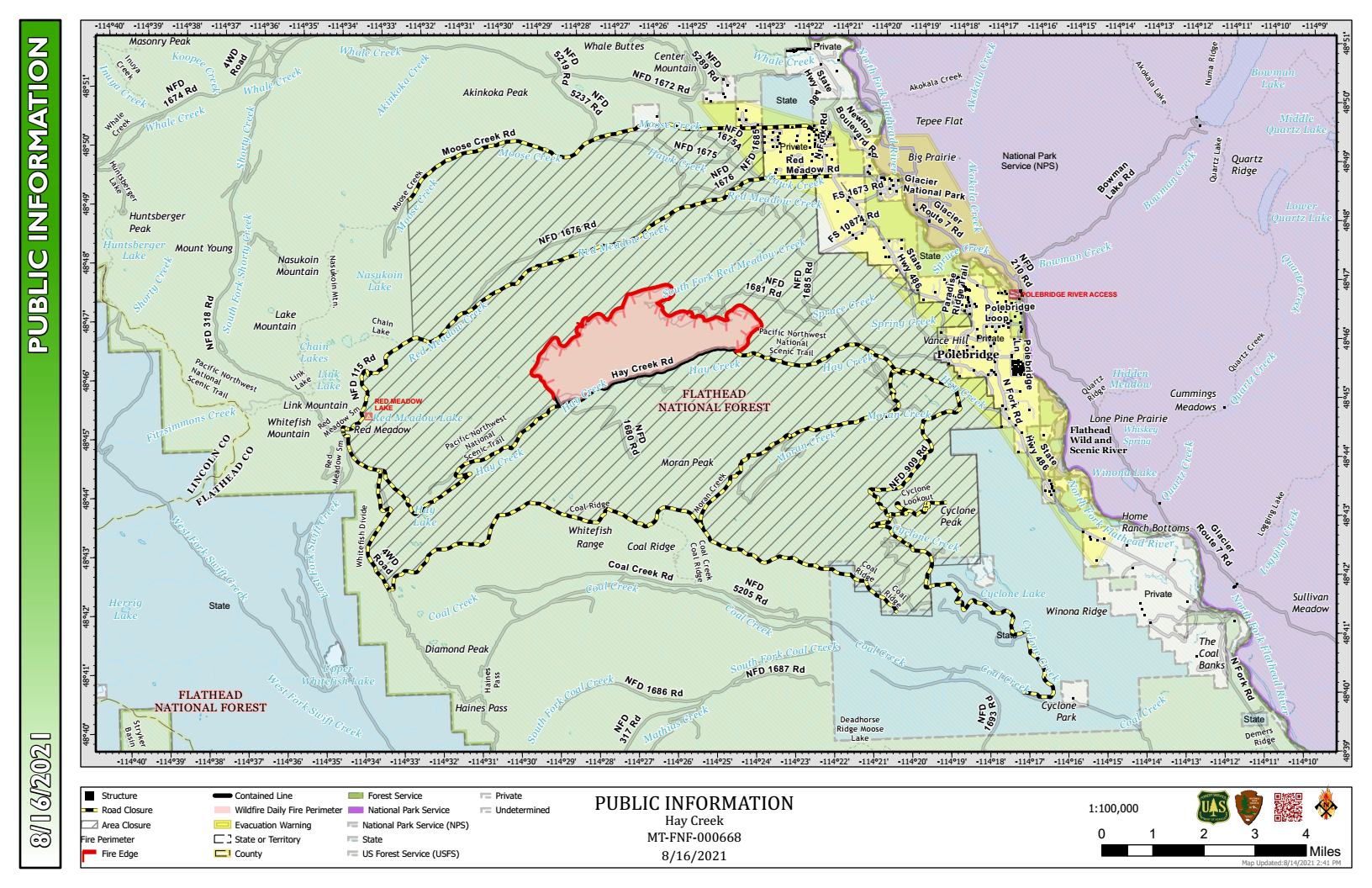
PDF version: https://nflandowners.org/nflawp/wp-content/uploads/2021/08/Hay-Creek-Fire-Public-Info-Map-for-August-16-17-2021.pdf