Using information from Lynn Ogle, Debo Powers (currently at Cyclone LO) and some digging through online resources…
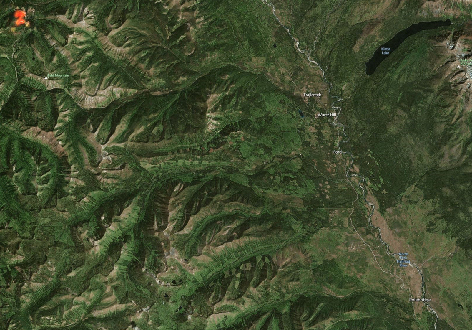
The Weasel Fire is at 30 acres, up from it’s initial 10, and moving towards the northeast. It generated a lot of visible smoke yesterday, but is currently no threat to the North Fork. Location is in the Kootenai National Forest, 26 miles northwest of Polebridge (see image; fire location is in upper left corner).
The hot spots in last year’s Hay Creek burn disappeared from the satellite imagery overnight and there is no smoke from that location.
The Flattop Mountain Fire in Glacier NP continues to skunk around at 0.1 acres.
There were no other verifiable local smoke reports yesterday.
Bill