(PDF version of this document: 2021-07-27-HayCreek-FNF-Update.pdf)
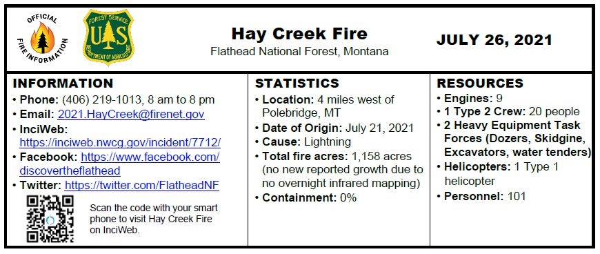
INCIDENT UPDATE
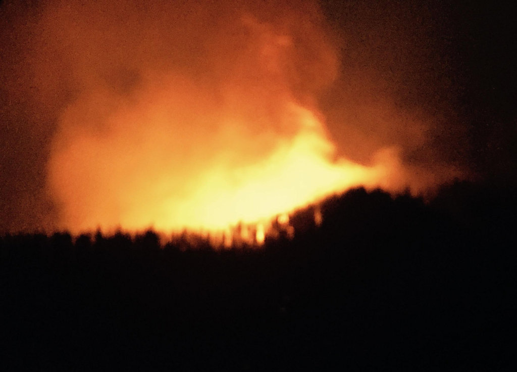
On Monday, afternoon cloud cover moderated fire activity. The fire remained active on the west flank, exhibiting isolated and group tree torching and short wind-driven crown runs. The priority objective is holding the line at the Hay Creek Road. Crews are laying hose and will potentially initiate firing operations to burn the remaining available fuels along the road if conditions allow. Spot fires to the south of the road were checked by bucket drops for the second day. Heavy equipment task forces will continue work to widen existing roads to connect past silvicultural forest treatments and build contingency lines.
A new spot fire was detected on the lower third of the south facing aspect in front of the east flank, estimated at ¼ acre. The spot is expected to establish and burn out available fuels ahead of the main fire.
Active fire behavior will likely continue to be observed at night due to low humidity and warm evening temperatures.
EVACUATIONS
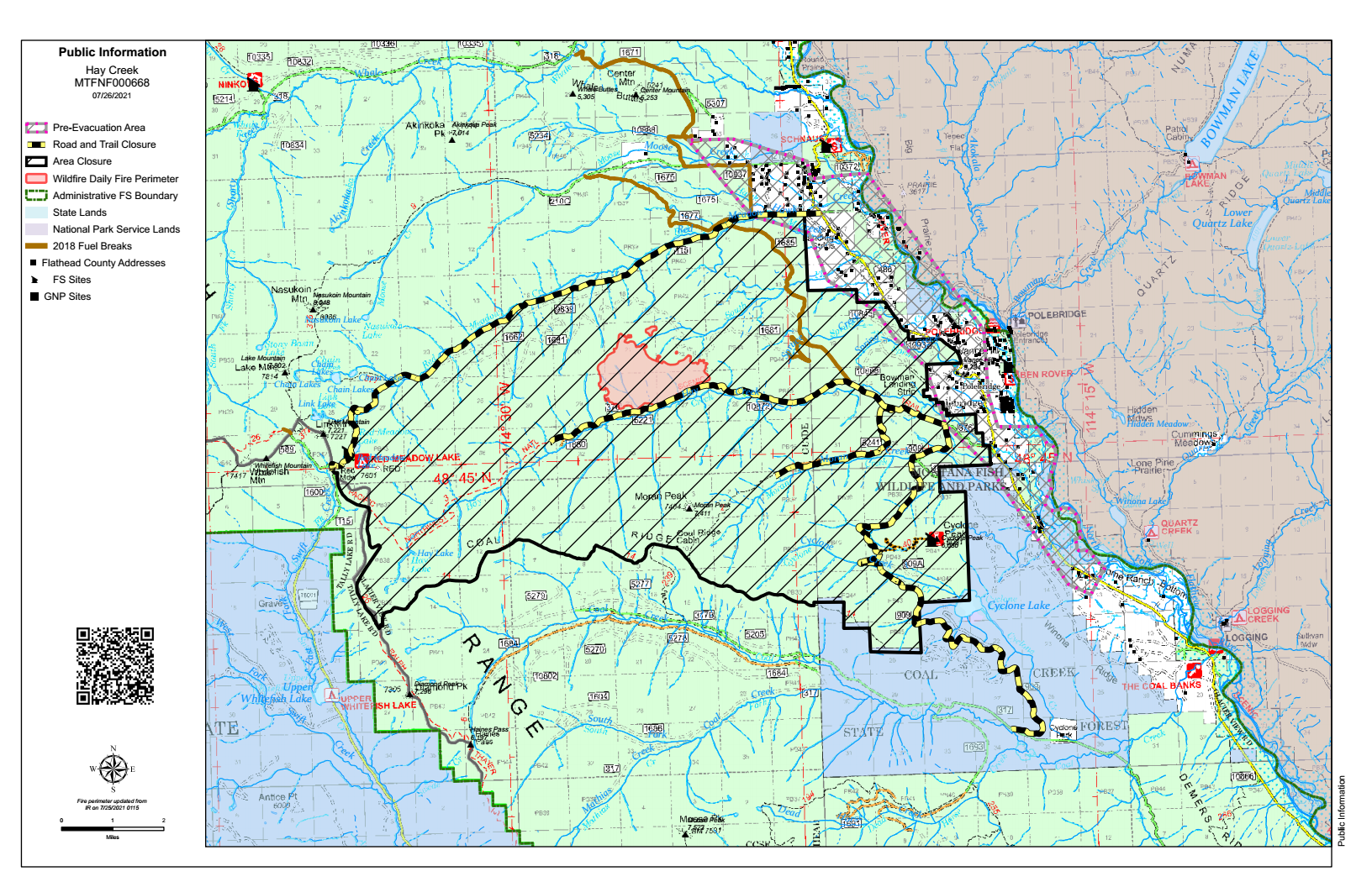
The Flathead County Sheriff’s department has expanded the phased Evacuation Warning to include all residences east and west of the North Fork Road from Home Ranch Bottoms north to and including Moose Creek Road and the community of Polebridge. Glacier National Park (NP) has issued an Evacuation Warning for the North Fork area of Glacier NP north of Logging Creek. See details at https://go.usa.gov/xFjcA and Current Fire Information – Glacier National Park.
CLOSURES
Road and trail closures are in place. See details at Inciweb: https://go.usa.gov/xFjcC.
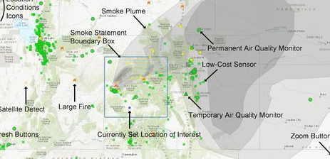
WEATHER AND AIR QUALITY
Continue reading Hay Creek Fire – Incident Update for July 27