The text of the official press release . . .
Kalispell, MT, July 26, 2023 — Interagency fire managers are implementing Stage I Fire Restrictions that will go into effect at 12:01am Saturday, July 29th, 2023 across the Flathead National Forest, Kootenai National Forest, Glacier National Park, US Fish and Wildlife Service, Montana Department of Natural Resources and Conservation – Northwestern Land Office, Montana Fish, Wildlife & Parks Region 1, and Lincoln County, Flathead County, and Sanders County.
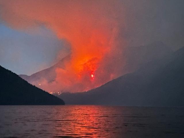
Each year, 70 to 80% of wildfires are human-caused and this summer the trend has continued. Northwest Montana is currently experiencing drought conditions including extremely dry forest fuels; forecasts of temperatures above normal accompanied by low humidity, wind, and minimal precipitation; and competition for firefighting resources, as fires continue to burn across the State and the West. The intent of Fire Restrictions is to reduce fire risk and prevent wildfires during periods of high to extreme danger by decreasing potential sources of ignition.
Please refer to the appropriate Fire Restrictions Order for the land you are visiting and for a complete list of what is and isn’t allowed. Continue reading Stage I Fire Restrictions Going into Effect in NW Montana