 A note just received (5:00pm, July 20)from Fire Chief Lynn Ogle…
I just spoke with Lincoln Chute with the County. He said that the last word on the Fire on Red Meadow is contained. The last word from USFS was that the crews are doing “Mop-up” and will be probable spending the night. More later if there is any more.
From Andy Huntsberger, District Fire Management Officer…
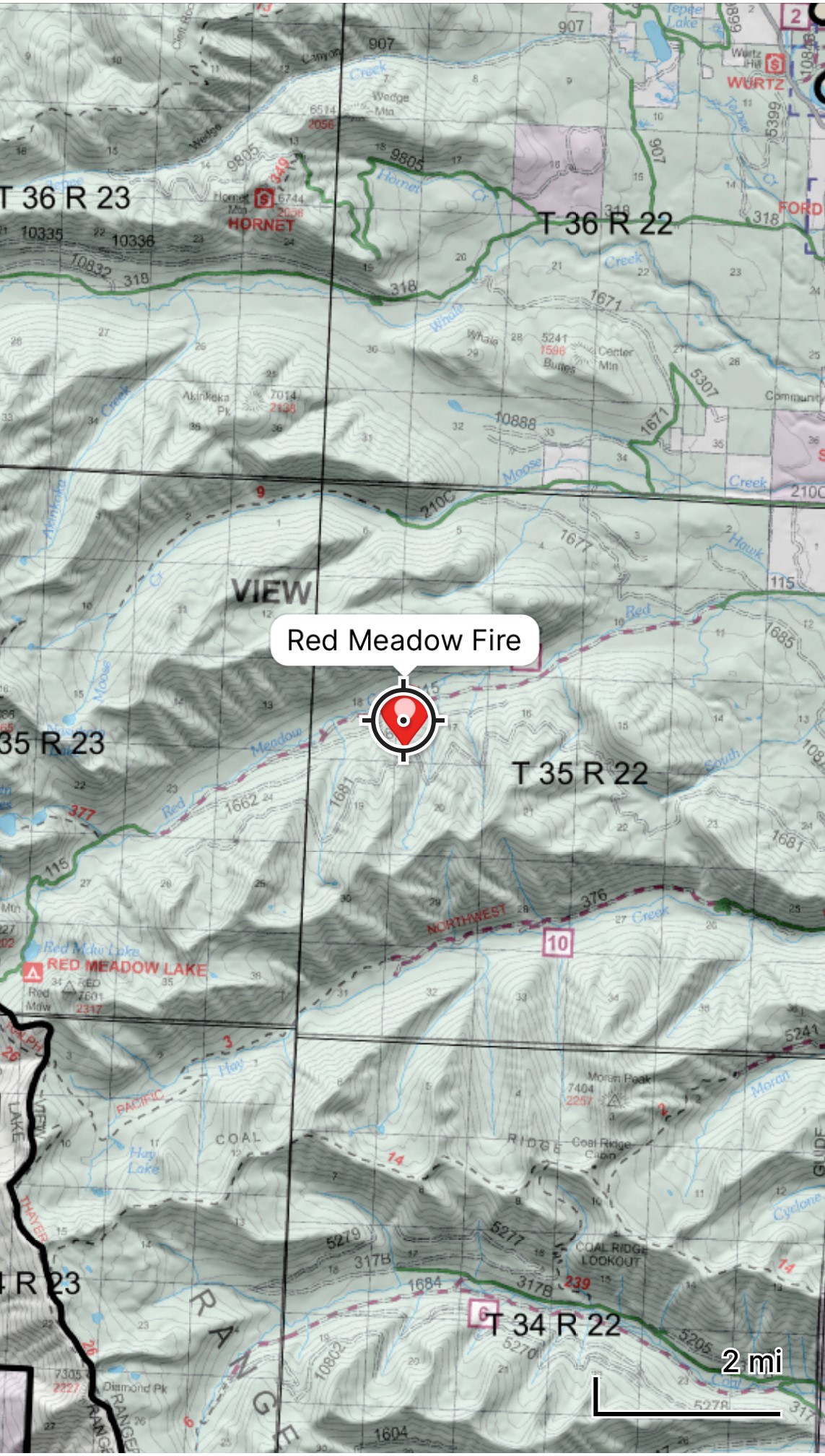
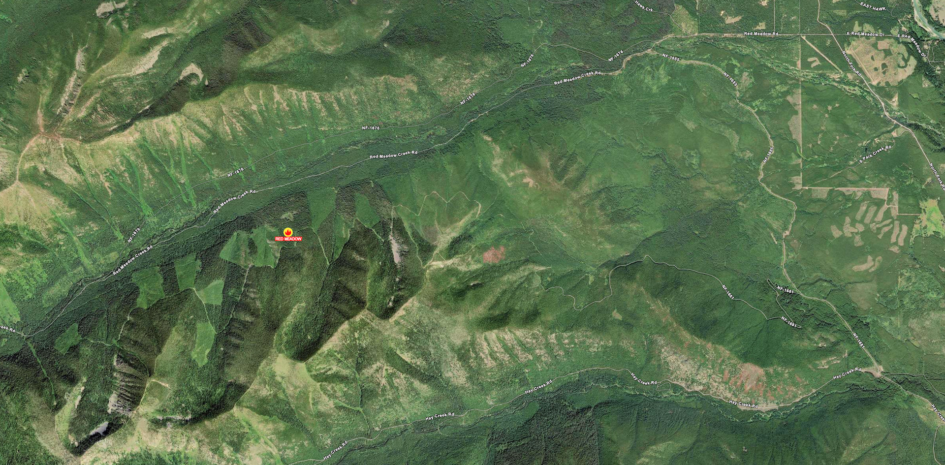
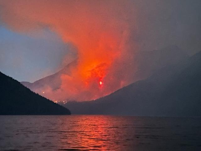
Today, July 19th, 2023 we had a new start in the Red Meadow Creek Drainage. Township 35 N, Range 22 W, SW corner of section 17. The fire was reported around 2200 hours on July 18th and we responded to the reported fire this morning.
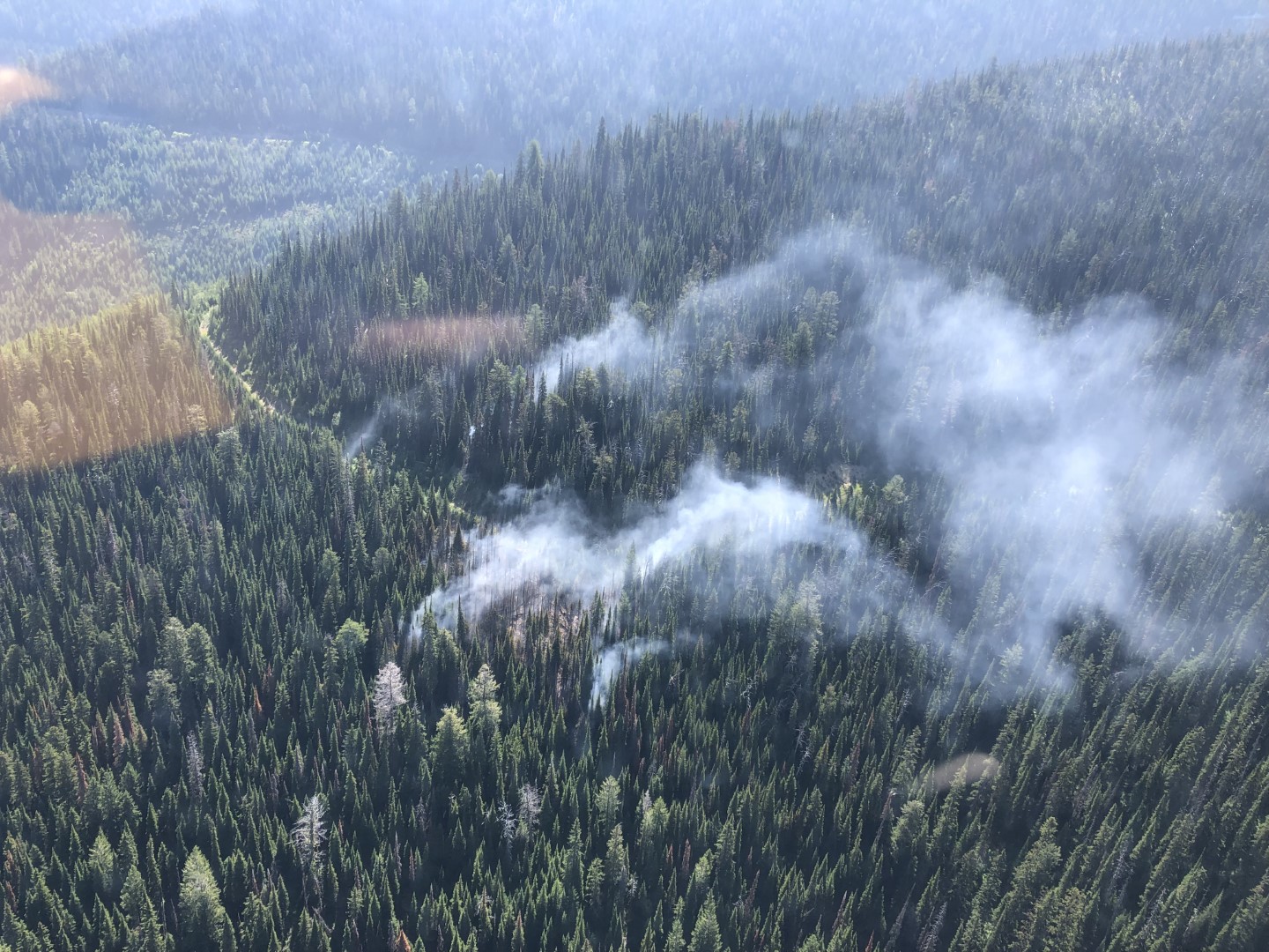
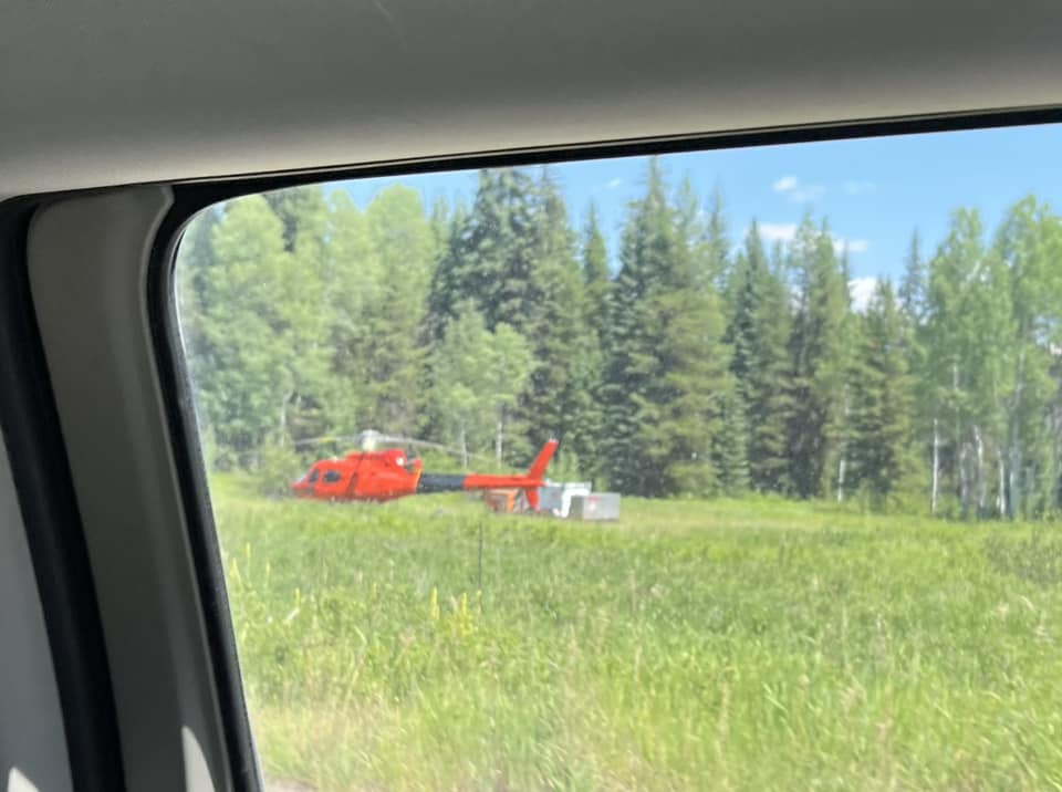
The fire is currently about 2 acres in size and we have 20 fire personnel on scene. 8 Helicopter Rappelers from the Kootenai NF and 12 Flathead NF Fire personnel. To date, we have used Type 1 and 3 helicopters for water bucket drops to help contain this fire. Fire activity is creeping and smoldering with some intermittent small flare ups. The smoke is light, white and visible from Red Meadow Road FS115. Fire suppression operations are being successful at this time.
There are no trail, road or area closures at this time.
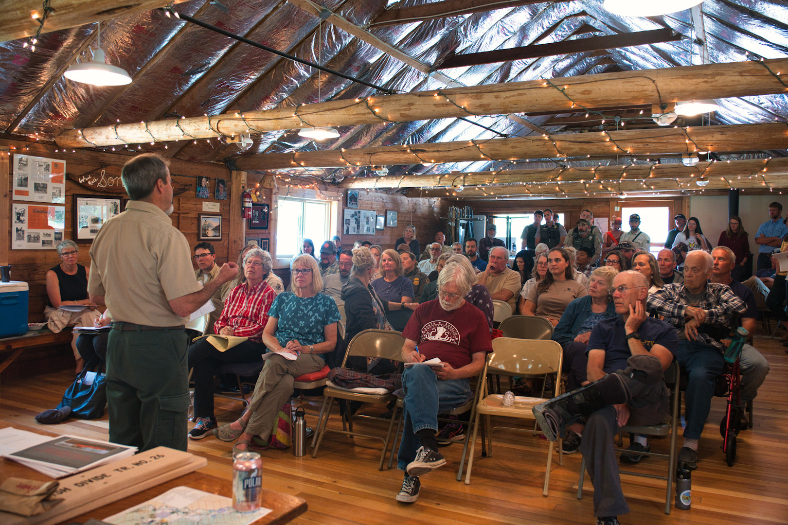

 Bob Lee will be giving his well-regarded First Aid/CPR/AED class in the North Fork again this summer. It is an all-day course, starting at 9:00am and wrapping up by 4:00pm. The date is Tuesday, July 18. The course will be held at Sondreson Hall. Cost is $45/person. Bring your own lunch and drinks. Class size is limited to 10 people.