Oh, joy… and just in time for the long holiday weekend . . .
GNP Vehicle Reservation System Begins May 26
24-hour advance reservations released on a rolling basis starting May 25 at 8 am MDT
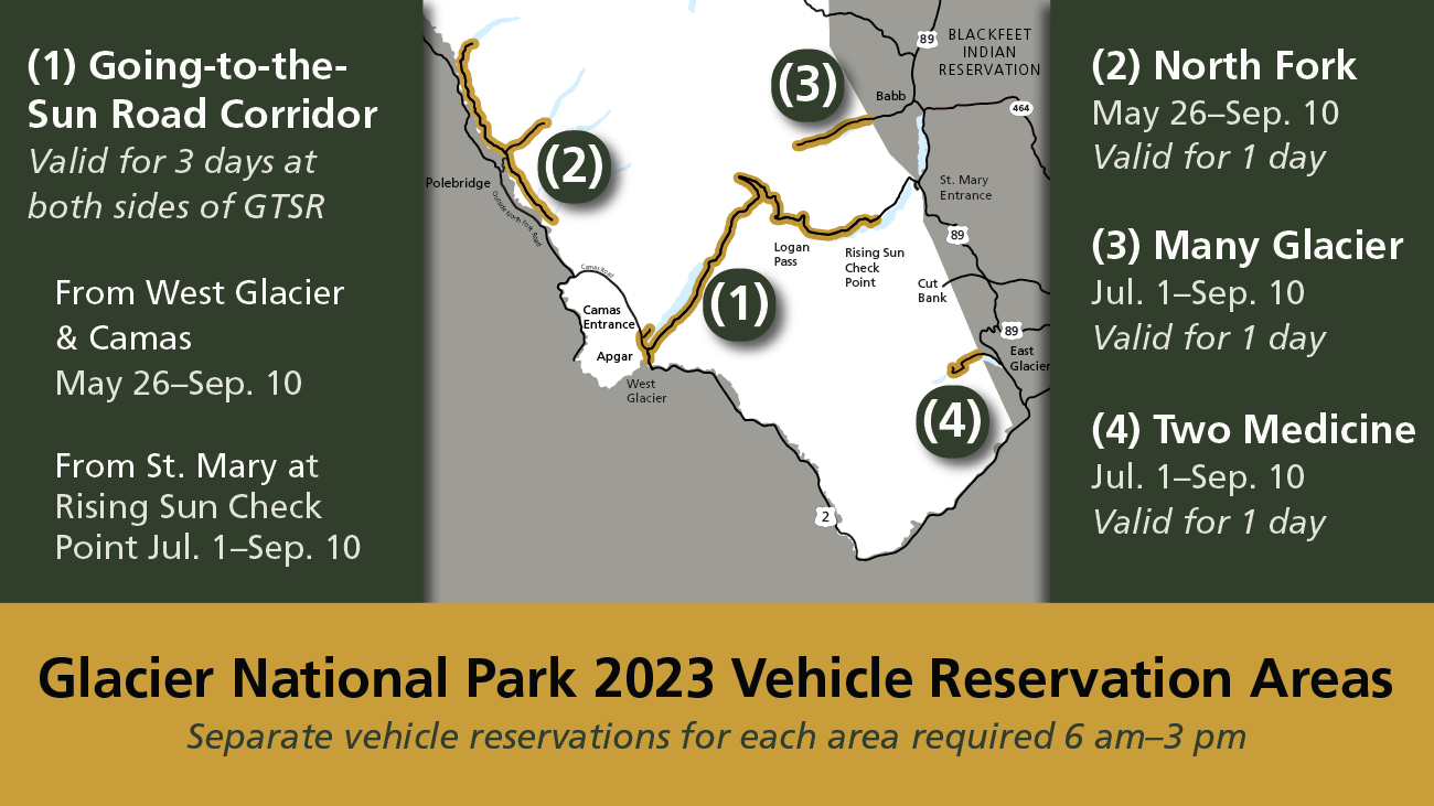
WEST GLACIER, Mont. [May 24, 2023] – Glacier National Park reminds visitors that vehicle reservations are required May 26 through September 10, 2023 for those entering the park by vehicle or motorcycle from 6 am to 3 pm at west side entrances including the North Fork, Camas and West entrances.
For the east side of the park, vehicle reservations will not be required at Many Glacier, Two Medicine and St. Mary (at Rising Sun) entrances until July 1, 2023.
Visitors with lodging, camping, or commercial activity reservations (e.g., boat tours and horseback rides) do not need a vehicle reservation and can use their confirmation email to access the portion of the park for which their activity is booked.
Visitors who do not already possess a vehicle reservation can book 24-hour advance reservations at 8 am MDT on Recreation.gov the day before their visit. Vehicle reservations are only available at Recreation.gov.
The park is open 24/7 and visitors may enter the park before 6 am or after 3 pm without a vehicle reservation; however, entry to Going-to-the-Sun Road from the west side is restricted before 6 am due to construction activities requiring nightly closures.
For the east side of Going-to-the-Sun Road Corridor, vehicle reservations will be checked at the Rising Sun check point (located 6 miles west of the St. Mary Entrance) beginning on July 1, 2023. Park shuttles at St. Mary Visitor Center are located outside of the vehicle reservation area and accessible without a vehicle reservation.
Additional vehicle reservation information and frequently asked questions are available on the park’s Vehicle Reservation page.
Glacier National Park is surrounded by a vast amount of additional recreational opportunities, including local tribal lands and national forests. Recreational activities on tribal lands such as hiking, boating, fishing, camping, etc. requires a permit through each tribe. Visitors can find more information on the Blackfeet Nation and Confederated Salish and Kootenai Tribes (CSKT) websites. Information for recreation in the Flathead National Forest and Bob Marshall Wilderness can be found on the Forest Services’ website. Visitors should research and plan before visiting these areas.
Need help planning your trip? Visitors looking for travel guidance can visit the Glacier Country Tourism website for additional information about the areas and businesses surrounding Glacier National Park.
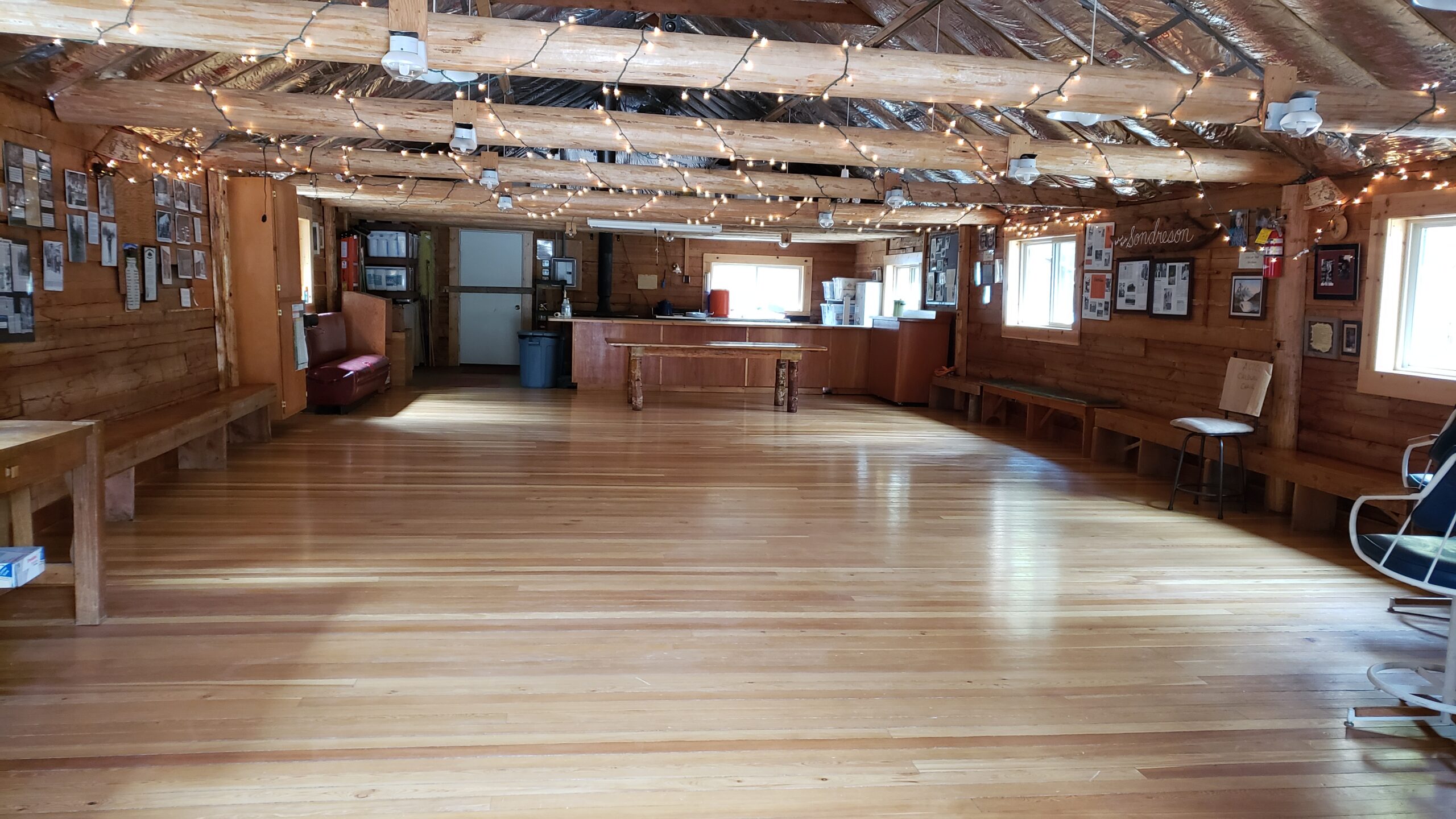

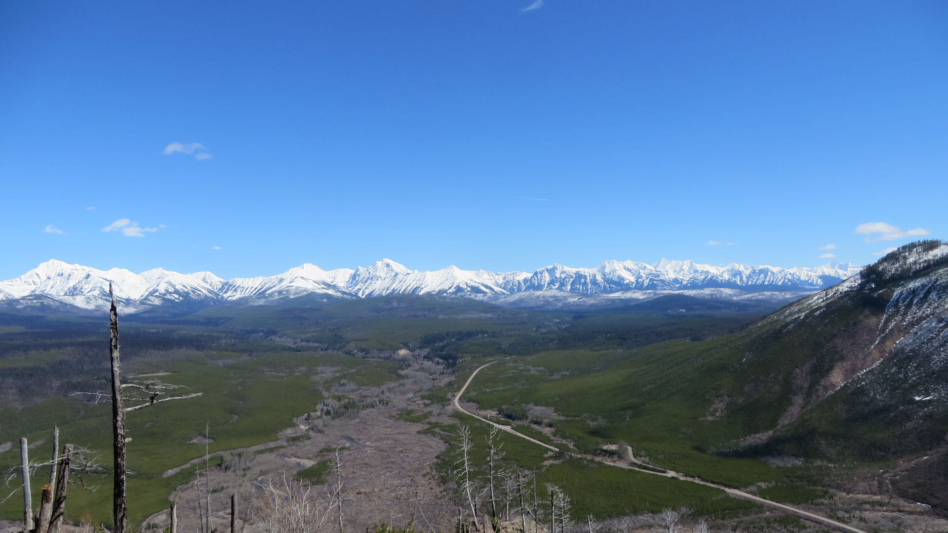
 In case you missed it, the North Fork Landowners’ Association 2023 Spring Newsletter is available online.